Title Using the Map
Identifier GUID-B358E5AB-409D-4DD9-BD9E-EC9BD6E87396
Language EN-US
Description
Version 9
Revision 4
Changes Added map layers, added 2D to map perspective, removed filter by category option.
Status Released
Last Modified 15/10/2021 09:22:14
Author hizerdanielle
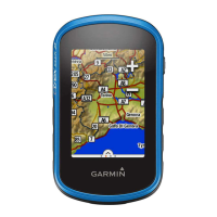
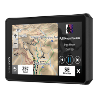
Using the Map
You can use the map to navigate a route (Your Route on the Map, page 87) or to view a map of your
surroundings when no route is active.
1 Select View Map.
2 Touch anywhere on the map.
3 Select an option:
• Drag the map to pan left, right, up, or down.
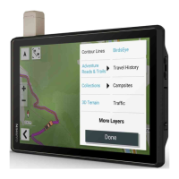
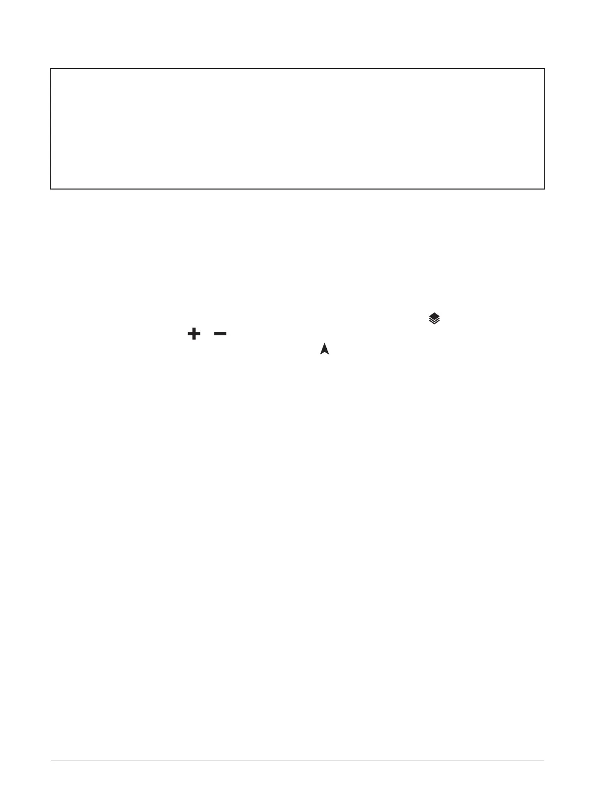
• To add or remove map layers such as topographic and BirdsEye imagery, select .
• To zoom in or out, select or .
• To switch between North Up, 2-D, and 3-D views, select .
• To start a route, select a location on the map, and select Go! (Starting a Route by Using the Map,
page 86).
40 Using the Map