Entering Geographical Data for Use in Legal Metrology
Purpose Entering geographical data allows the external adjustment of weighing equipment
at a place (e.g. at the manufacturer or vendor‘s place of business) that is not the
same as the place of installation. If the weighing equipment is adjusted at the place
of installation, it is not necessary to enter geographical data.
The sensitivity of weighing equipment changes depending on the place of
installation as it is dependent on the on-site gravitational force – or, more precisely,
on gravitational acceleration. Saving geographical data makes it possible to change
the place of installation of the weighing equipment after external adjustment has
been carried out.
The adjustment of weighing equipment is valid at the place of installation and
within a specic tolerance zone. At 3000 e this zone extends ±100 km from the set
geographical latitude and ±200 m from the set elevation above sea level.
Installation Location in Germany An exception to this is the setting for “Germany (Zone D):” If during external
adjustment of weighing equipment within Germany the geographical data
– Geographical latitude: 51.00 degrees
– 513 m elevation above sea level
are entered, the weighing equipment can be used throughout Germany.
Gravitational acceleration for “Germany (Zone D)” is 9.810 m/s
2
. On delivery the
geographical data for “Germany (Zone D)” are entered in the output device.
It is recommended to use the geographical data settings for “Germany (Zone D)”
when adjusting and delivering the weighing equipment within Germany.
Entering exact geographical data will lead to a higher level of accuracy but will also
restrict the tolerance zone.
Setup Information – It is only possible to enter geographical data when the menu access switch is
open.
– When the Service mode is active, geographical data can be entered in the Setup
menu under “
WP 1“ for the rst weighing platform and “WP 2“ for the
second. Settings are made in the “Calibration/adjustment:
Geographical data: Input parameters
“ menu.
– You can enter either the “latitude“ (geographical latitude in degrees)
and “altitude“ (elevation in m above sea level) or the value for
gravitational acceleration “gravity.“
Gravitational acceleration takes precedence over the geographical latitude and
elevation of the location: If it has been entered, input elds for latitude and
elevation show the values “99999.99“ and “9999999“ respectively.
If only elevation and latitude have been entered, “0000000“ is displayed
for gravitational acceleration.
h
Then make sure that the geographical data for the adjustment location has been
entered correctly. If no external adjustment is carried out, enter the data for the
installation location. The data can be obtained from the relevant land registry or
Ordnance Survey.
32 Operating Instructions Combics Complete Scales
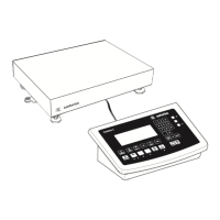
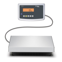
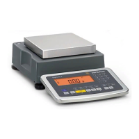
Configuring Weighing Platforms
 Loading...