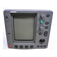
1-2 Raychart 425 Chartplotter
Appendix A details the Technical Specification for the Chartplotter.
Appendix B details the Technical Specification for the GPS Receiver.
Appendix C defines the NMEA data received/transmitted by the
Chartplotter.
Appendix D provides a list of abbreviations used in this handbook.
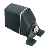
Installation Templates for the Raychart 425 and its associated
Raystar 120 GPS Receiver are included at the end of this handbook.
1.2 Satellite Differential System
The Raystar 120 GPS Receiver utilizes a new satellite differential
correction system to improve the accuracy and integrity of the basic GPS
signals. Three separate compatible systems currently exist or are being
developed:
1. Wide Area Augmentation System (WAAS). Developed by the Fed-
eral Aviation Administration (FAA) in the USA.
2. European Geostationary Navigation Overlay System
(EGNOS). This system is being developed by a European consor-
tium.
3. The MTSAT Satellite-Based Augmentation System (MSAS). Being
developed by the Japan Civil Aviation Bureau (JCAB) for civil avia-
tion use.
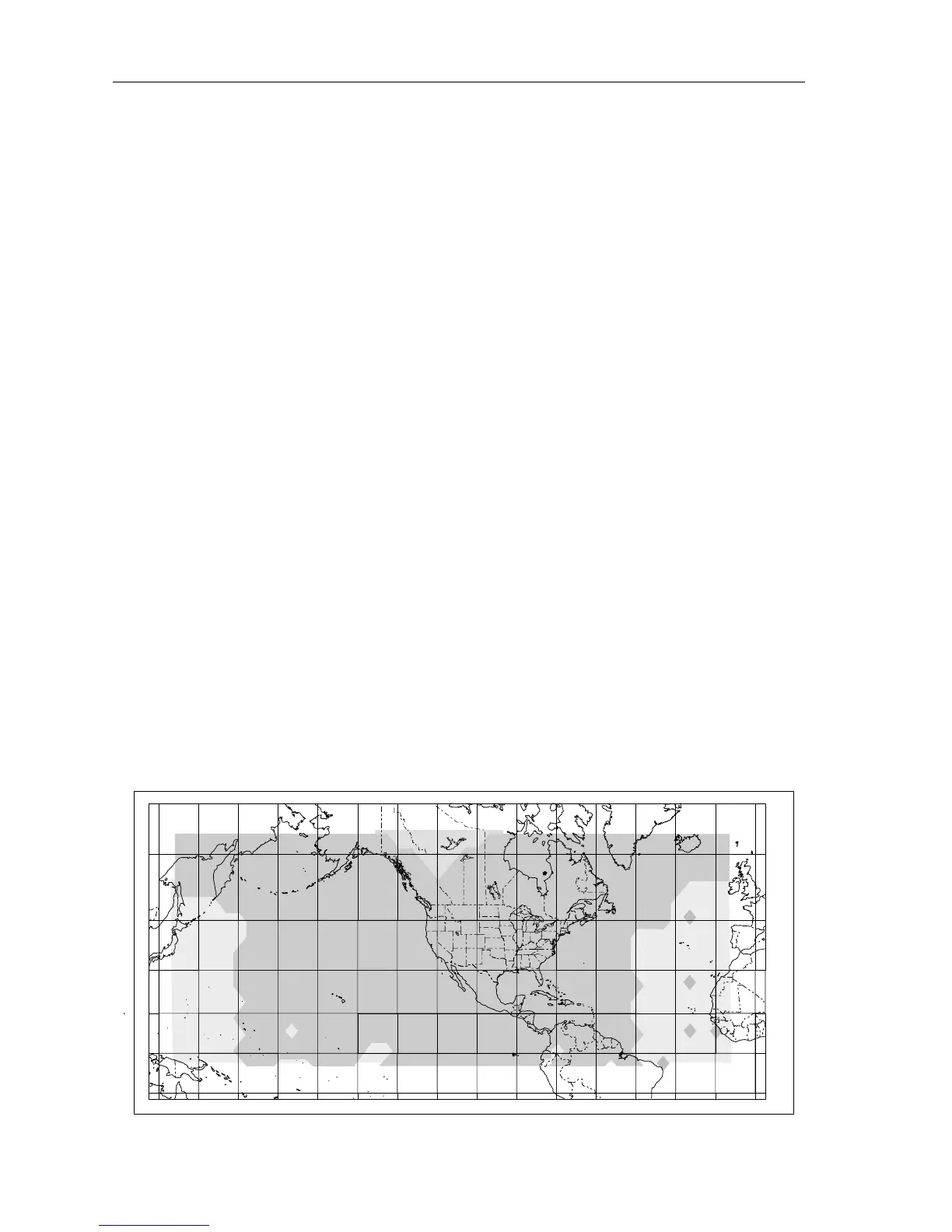
The area coverage of the WAAS system is the furthest advanced so far
and includes the entire United States of America but also covers large
areas outside of this as shown in Figure 1-1.
Figure 1-1: WAAS Coverage Map
D4910-1
0˚
15˚N
30˚N
45˚N
60˚N
75˚N
15˚S
0˚15˚W30˚W45˚W60˚W90˚W 75˚W105˚W120˚W135˚W150˚W165˚W 15˚E135˚E 150˚E 165˚E 180˚
 Loading...