COMMISSIONING 6
8017768/12AX/2019-05-31|SICK
Subject to change without notice
OPERATING INSTRUCTIONS | TIC
Checking that the mounting position is correct
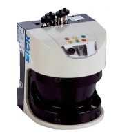
In the live view, check that the mounting position is correct by referring to the unfiltered
raw data of the 2D LiDAR sensor.
1. Go to the component level and click the Visualize live data for device icon and then on
Measurement points in the input line below. The measurement points appear.
The area at the bottom provides a detailed display of the measurement points within
the coordinate system.
2. Adjust the Y-axis position so that all measurement points are visible on the road
surface.
3. Adjust the angle of rotation and use the measurement points to check that the signal is
being output as required.
4. Adjust the X position so that no permanent measurement points (e.g., lane dividers or
borders) are visible within the lane. This is because the profiling system automatically
limits the processing of measurement points to the width of the lane.
5. Filter the permanent measurement points by moving the 2D LiDAR sensor out of the
measuring range on the X-axis.
If you click on the expanded function again, the measurement points disappear from view.
Note
Note