Introduction
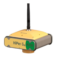
HiPer+ Operator’s Manual
1-2
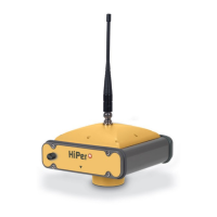
The dual-frequency and GPS+ features of the HiPer+ combine to
provide the only real time kinematic (RTK) system accurate for short
and long baselines. Several other features, including multipath
mitigation and co-op tracking, provide under-canopy and low signal
strength reception. The HiPer+ receiver provides the functionality,
accuracy, availability, and integrity needed for fast and easy data
collection.
Principles of Operation
Surveying with the right GPS receiver can provide users accurate and
precise positioning, a requirement for any surveying project.
This section gives an overview of existing and proposed Global
Navigation Satellite Systems (GNSS) and receiver functions to help
you understand and apply basic operating principles, allowing you to
get the most out of your receiver.
GNSS Overview
Currently, the following two global navigation satellite systems
(GNSS) offer line-of-site radio navigation and positioning, velocity,
and time services on a global, all-weather, 24-hour scale to any user
equipped with a GNSS tracking receiver on or near the Earth’s
surface:
• GPS – the Global Positioning System maintained and operated by
the United States Department of Defense. For information on the
status of this system, visit the US Naval Observatory website
(http://tycho.usno.navy.mil/) or the US Coast Guard website
(http://www.navcen.uscg.gov/).
• GLONASS – the Global Navigation Satellite System maintained
and operated by the Russian Federation Ministry of Defense. For
information on the status of this system, visit the Coordinational
Scientific Information Center (CSIC) website
(http://www.glonass-center.ru/frame_e.html).