6. Survey with LandStar 6 software
i80 GNSS Receiver User Guide Page 67
2. The “Plane fitting” fit method is used when the measuring
surface is level, and it requires at least 3 point pair with
elevation information to be involved in the computation.
3. The “Curved surface fitting” fit method is used when the
measuring surface is uneven, and it requires at least 6 point
pair with elevation information to be involved in the
computation.
4. The “TGO” fit method is almost the same with “Fixed
difference”, except that this method is more convenient for
computation using computer.
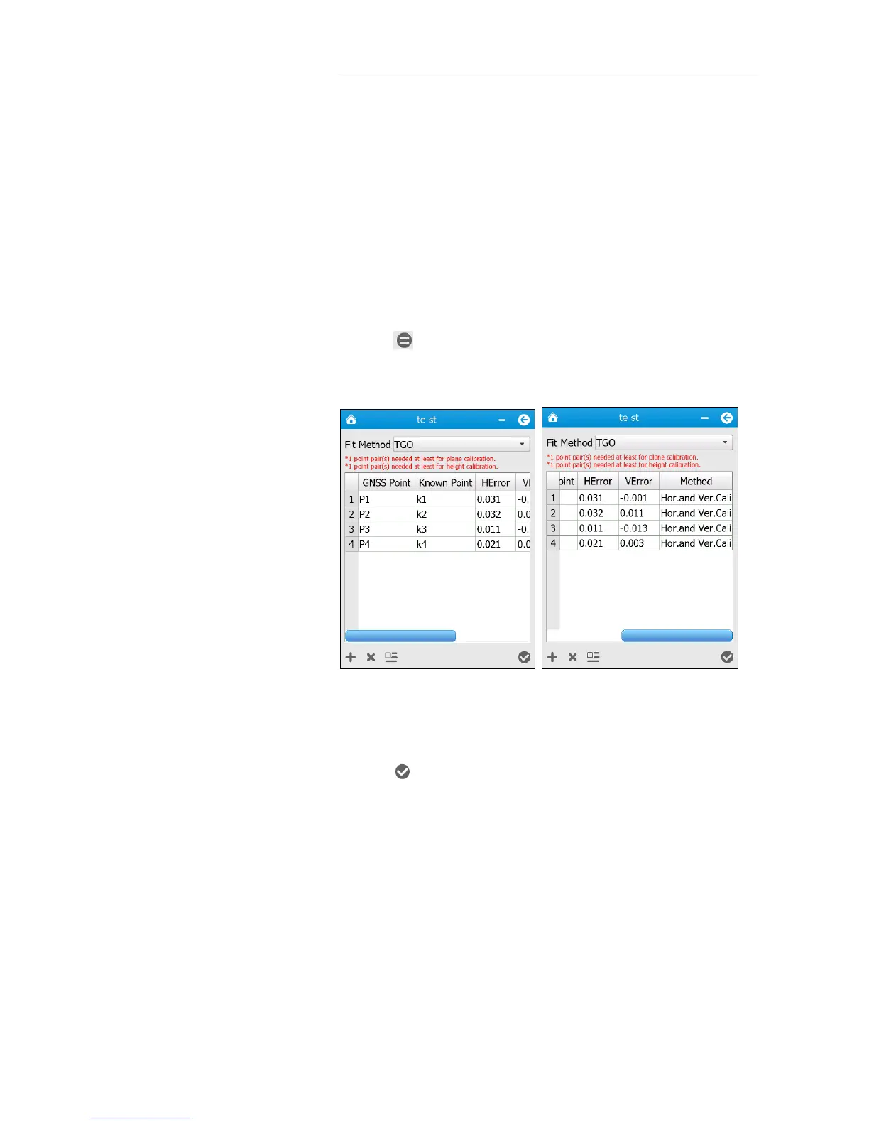
10. Tap button to perform the calibration, and then the “HError” and
“VError” information related to each point pair will be displayed.
Note – For best results, make sure that the control points are evenly
distributed to the extent of the job area.
11. Tap button → a message will pop up asking user whether to
replace parameters of current project.