86 DG14 and DG16 Board & Sensor Reference Manual
Elevation Modeling
In addition to computing and outputting geodetic and cartesian coordinates in
different systems, the receiver can compute and output elevations in different
systems.
By default, the receiver computes and outputs ellipsoidal heights. In some
messages, the geoid separation is included, computed from the internal global
model, relative to WGS-84.
To set the receiver to compute and output orthometric heights, use the
$PASHS,HGT,GEO command. After setting this command, the receiver outputs
orthometric heights using the internal global geoid model. Be aware that the internal
geoid model used in this calculation is very coarse. Orthometric heights derived
from this model could be in error by a meter or more.
If separation is included in the message, it is calculated by adding the difference between WGS-84
and a user- or pre-defined datum to the WGS-84-based geoid separation. An exception to this is the
GGA message which ONLY outputs WGS-84 based geoid heights and separation, as per NMEA
specifications.
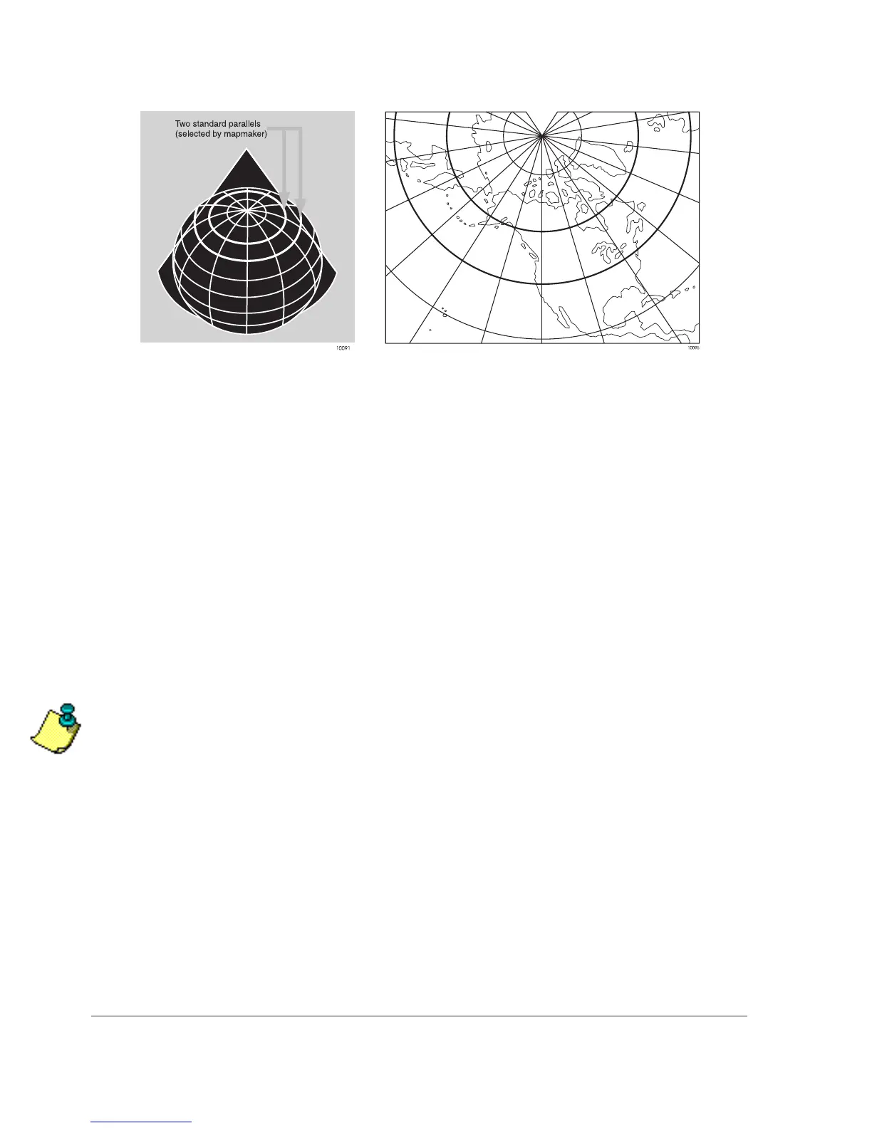
Figure 4.6. Lambert Conformal Conic