3 – 94
3
3.4 BASIC OPERATIONS
.
..
[
55
] Setup and Display of Geodetic System
In making up any navigational information, it is necessary to set up the geodetic system used by
the connected navigation equipment. When any saved navigational information is loaded, the
geodetic system used when the navigational information was saved will also be displayed. Then,
check that the geodetic system on display is the same as that for the connected navigation
equipment. If both geodetic systems are different, the positions of the navigational information on
radar display may be deviated. Therefore, it is important to set the same geodetic system as the
navigation equipment.
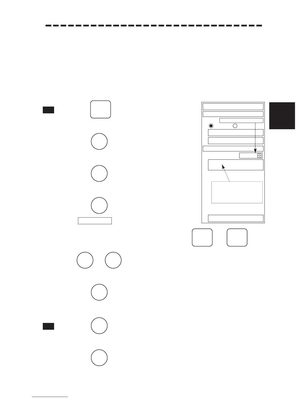
1 Press .
The Main Menu will appear.
2 Press .
The Sub1 Menu will appear.
3 Press .
The NAV/MAP INFO Menu will appear.
4 Press .
will be selected.
5 Select the number of geodetic system using any of and or
to . (See Table of Geodetic Systems)
When the number of geodetic system is entered, its name is changed.
6 Press .
The selected geodetic system will be set up.
1 Press .
The Sub1 Menu will reappear.
2 Press .
The Sub1 Menu will be closed.
Geodetic system No. input
Geodetic system name display
area: The display changes
according to the geodetic
system No. in the right input
area.
 Loading...