3 – 79
3 Press .
The Sub1 Menu will be closed.
……Display of Navigational Information ………………………………
Navigational information such as waypoint marks, and a maximum of 256 points of NAV lines,
coastlines, depth contours and NAV marks can be created, displayed, read out, saved, edited
and cancelled. (This function is effective only when navigation equipment is connected to this
system.)
[
11
] Displaying Waypoint Marks
If waypoint information is sent from navigation equipment, a waypoint mark will appear on the radar
display. If the waypoint appears within the radar display, it is displayed as “ WP”.
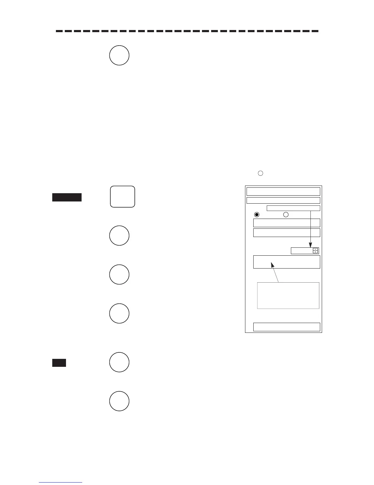
1 Press .
The Main Menu will appear.
2 Press .
The Sub1 Menu will appear.
3 Press .
The NAV/MAP INFO Menu will appear.
4 Press .
“ON” in “1.WPT” will be set and the selected waypoint mark
will appear.
1 Press .
The Sub1 Menu will reappear.
2 Press .
The Sub1 Menu will be closed.
Geodetic system No. input
Geodetic system name display
area: The display changes
according to the geodetic
system No. in the right input
area.
 Loading...