AltitudeGraph:ThelowerpartofWingtraPilotfeaturesanaltitudegraphthatindicatestheflight
altitudeovertheplannedflight.Youcandisplaythealtitudegraphbypressingthebuttononthe
bottomrightcornerintheFlightPlanmenuofWingtraPilot.Pleasenotethatwhennotflyingthefull
FlightPlan,e.g.inresumeoperation,thealtitudegraphdoesnotindicatethetrueflight,butthefull
FlightPlan.
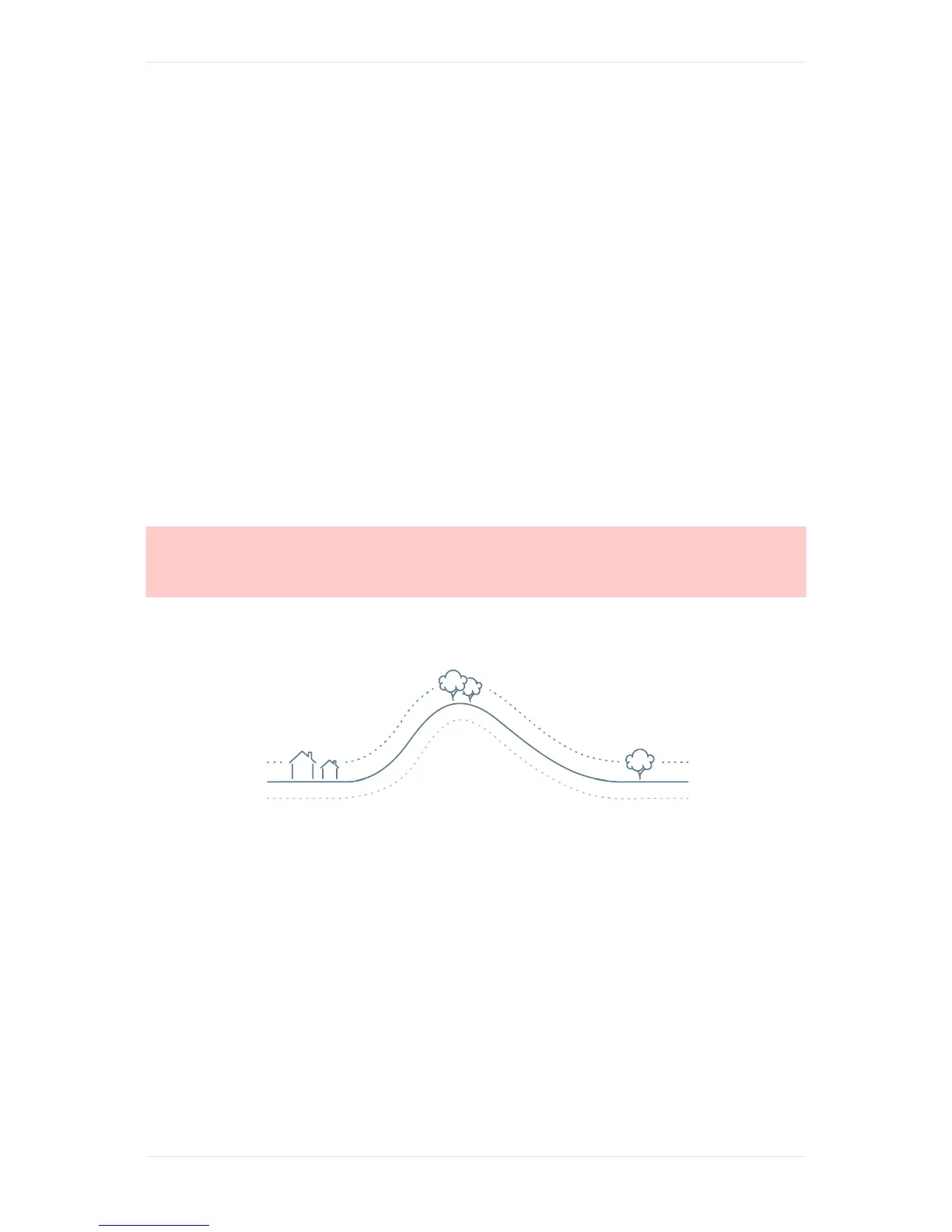
TerrainFollowing:WingtraPilotofferstheoptiontouseterrainelevationdatatoenhancesafetyof
yourflightandtofacilitateflyingwithconstantaltitudeaboveground.Theelevationdatacaneitherbe
fetchedonlinewhenplanningthemissionorcachedpriortoplanning(seeDownloadMapsforOffline
Use).Terrainfollowingcanbeenabledforeveryareaindividually.Ifitisenabled,everysweepis
flownatanindividualaltitude,ensuringconsistentGSDresolution.ThedesiredGSDoraltitudeabove
groundcanbespecifiedasusual.Useoftheelevationdataneedstobeenabledwhenstarting
WingtraPilotforthefirsttimeorlateron,byclickingtherespectiveoptionintheWingtraPilotSettings
menu.
GroundClearanceChecks:AllyourFlightPlanischeckedforgroundclearancewhenuploadingthe
FlightPlantoWingtraOne.Youdefinea"minimumgroundclearance"inthesafetytab.Itisgood
practicetosetthevalue20meterhigherthanthetallestobjectwithintheregionyouareflyingover
andissetto40mbydefault.IncaseyouviolatethegroundclearancecheckalongthelineHome-->
loitercircle,youwillbewarnedatuploadtimebyasafetywizard.Youcaneitheradapttransition
altitudeatthispointtocomplywiththegroundclearancealsointhispartoftheflightorcontinuewith
yourplannedvalue.Incaseyouviolatethecheckatanyotherpoint(e.g.onconnectinglinesorif
flightaltitudeissetlowerthanminimumgroundclearance)youwillnotbeabletouploadyourFlight
Plan.Checkthealtitudegraphtoseewhereyouviolategroundclearance.
Caution:Elevationdata,aswellaspositionmeasurementsoftheWingtraOnearesubjectto
uncertainties.Also,theusedelevationdatadoesnotconsistentlyaccountforvegetation,buildingsor
otherobstacles.TheultimateresponsibilityforsanityoftheplannedFlightPlanremainswith
theoperator.
FlyinginDifficultTerrain-Mines/ChangingTerrain
Payextracareifyouwanttomapregionsinwhichterrainischangingsubstantially.Thisise.g.the
caseinactivemines.Forsuchsituationspleaseincreaseyourmargins,i.e.getafeelinghowmuch
yourterraindiffersfromtheSRTMdatabaseandadjust"minimumgroundclearance"accordingly.In
caseyouareunsure,considerdisablingterrainfollowingandusethe"groundelevationoffset"feature
(seebelow)foryourflight.
FlyinginDifficultTerrain-Obstacles/Buildings/Forest
TheterraindatawithinWingtraPilotdoesnotaccountforforestorotherobstacleslikebuildings.Ifyou
wanttomapforestorbuildings,makesuretosetthegroundclearancetoanappropriatevalue(we
recommendnormallytheheightofthetallestbuilding+20m).Sincethemappedobjectsliehigher