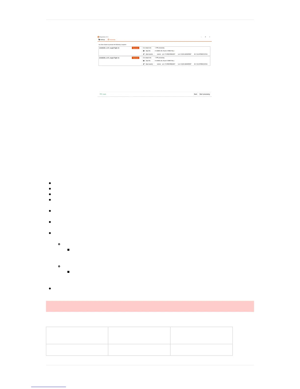
7. Click"Starttagging"tostarttheprocess.
8. Oncethegeotaggingisdone,WingtraPilotwillinformyouiftheprocesswassuccessful.A
geotaggingreportwhichcontainstheinformationofthePPKgeotaggingprocesswillbeproduced
aswell.
WerecommendyoutogothroughthePPKtutorialtolearnmoreaboutthedetailsregardingPPK
geotaggingprocess.
ResultsofGeotagging
Aftergeotagging,yougetaccurategeolocationinformationforeachflightimage.Itisprovidedinacsv
fileintheOUTPUTfolderofyourproject,and,ifselected,intheEXIFmetadataofyourimages.
Hereisanoverviewofthefinalcontentoftheprojectfolderinside"WingtraPilotProjects"folder:
/DATAsubfolder:AllGNSSdataavailableforthisparticularproject.
/IMAGESsubfolder:Allunmodifiedimagesforthisparticularproject.
/OUTPUTsubfolder:Alloutputdatafromthegeotaggingprocess.
/DATA/date_time.jsonfile:Atextfilecontainingtime,GNSScoordinatesandattitudesforall
images(fornon-PPKgeotagging).
/DATA/date_time.sbffile:AbinaryfilecontainingtheGNSSinformationofthemissionforPPK
geotaggingpurpose.
/OUTPUT/imagename.jpgfiles:TaggedimageswithGNSScoordinatesandexactGPStime
embeddedasEXIFtags.
/OUTPUT/projectname.csvfile:Ageotagstextfile,whichcontainstherelevantmetainfomration
forallflightimages:
IfPix4Dtypecsvfileoutputisselected:
imagename,latitude[decimaldegrees],longitude[decimaldegrees],altitude[meter],
omega[°](0°forWingtraOnePPK),phi[°](0°forWingtraOnePPK),kappa[°](0°for
WingtraOnePPK),AccuracyHorz[meter],AccuracyVert[meter].
IfAgisofttypecsvfileoutputisselected:
label,latitude[decimaldegrees],longitude[decimaldegrees],altitude[meter],Yaw[°]
(0°forWingtraOnePPK),Pitch[°](0°forWingtraOnePPK),Roll[°](0°forWingtraOne
PPK)
/OUTPUT/geotagging.pdffile:Areportwhichcontainsalltheinformationregardingthe
geotaggingprocess.
Caution:TheoutputGNSScoordinatesfromthegeotaggingprocessforWingtraOnePPKand
WingtraOnewithoutPPKdiffer!Pleaserefertothetablebelowforthecorrectcoordinatesystem.
ThecoordinatesystemoftheoutputGNSScoordinatesfromthegeotaggingprocessareasshownin
thetablebelow:
Version CoordinateSystem
HeightReference
System
PPK WGS84 Ellipsoidalheight