5-40 Pilot’s Guide 190-02488-01 Rev. B
Hazard Awareness
Terrain Proximity
FEATURE LIMITATIONS
• Terrain and obstacle depictions are relative to aircraft altitude.
• Obstacle depictions are dependent upon database
• Does not provide visual or aural alerts
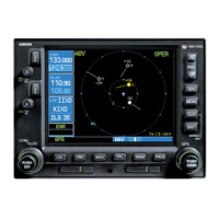
View color depictions of terrain and obstacle elevations relative to your current
position and altitude.
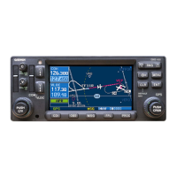
Terrain Elevation Depictions
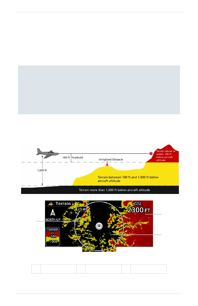
Color shading depicts terrain elevations relative to the aircraft’s position and altitude.
Colors automatically adjust as the aircraft’s altitude changes.
Terrain Proximity Features
• Non-TSO C151c certified terrain display system
• 2-D graphical representation of surrounding terrain, obstacles, and power lines
relative to aircraft position and altitude
• Declutter automatically removes obstacle and power line data at large ranges
• Continuous monitoring of database validity, GPS and hardware status
• Displays when higher level terrain functions are active
1 Red 2 Yellow 3 Black