USER MANUAL
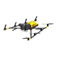
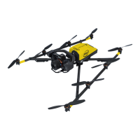
INTEL® FALCON™ 8+ UAS
© 2017 Intel Corporation. All rights reserved 164
5.4. WAYPOINT NAVIGATION USING ASCTEC NAVIGATOR SOFTWARE
This functionality is part of the Survey Package (see “SOFTWARE FEATURE PACKAGES”
on page 61). The AscTec Navigator Software enables planning and performing
complex flight patterns for remote surveying applications. Pre-planned AscTec
Navigator Software flight missions are exported to an USB stick, which is plugged into
one of the USB ports numbered 2-4 of the CTR. This flight plan can be loaded and
executed using the NAVIGATOR function of the Cockpit Control application on the
touchscreen tablet (see “AscTec Navigator Software Projects” on page 84). At each
waypoint an image is triggered, and the current GPS position is stored in the Intel®
Falcon™ 8+ UAV log. Images and GPS information can later be used in photogrammetry
software to create orthomosaics, digital surface models or 3D models.
Please refer to the AscTec Navigator Software manual for detailed information. The
manual can be found here:
http://wiki.asctec.de/display/APL/AscTec+Navigator+Manual.