Navigation
190-02488-01 Rev. B Pilot’s Guide 3-51
WAYPOINT SPECIFIC PAGE FEATURES
Features listed here are unique to the corresponding waypoint.
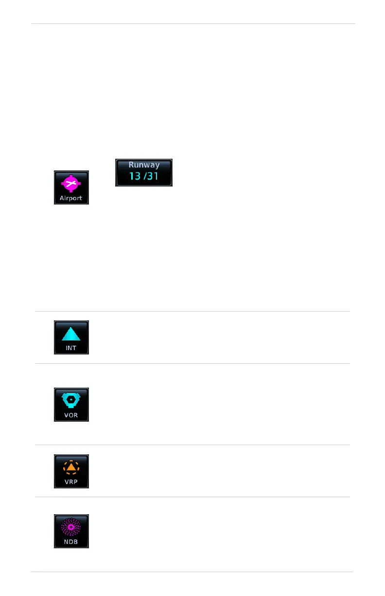
Airport
Selectable abs:
Info: Airport location, elevation, time zone, and fuel
availability.
Procedures: Available approach procedures.
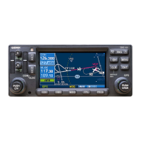
Runways: Identifiers, size, surface type, and traffic pattern
direction.
Frequencies: Available communication and localizer
frequencies. The “c” symbol denotes frequencies that function
as the CTAF.
View additional frequency information by tapping
More Information, if available.
WX Data: Applicable METARs, city forecasts, and TAF weather
information.
NOTAMs: Applicable distant and FDC NOTAMs.
VRPs: Nearest VRPs.
Intersection
Data fields:
• Nearest VOR (identifier, type icon, bearing, and distance)
Very High Frequency Omni-directional Range
Data fields:
• Frequency
• Nearest airport (identifier, type icon, bearing, and distance)
• Station declination
• VOR class
Visual Reporting Point
Data fields:
• Nearest VRP (identifier, type icon, bearing, and distance)
Non-Directional Beacon
Data fields:
• Frequency
• Nearest airport (identifier, type icon, bearing, and distance)
• Marker description
Tapping Runway opens a list of
available runways.