

S
Seth BookerAug 21, 2025
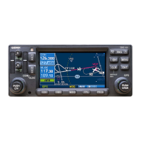
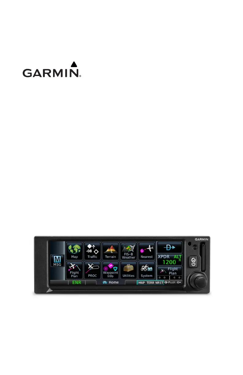
How to fix a Garmin GNC 355 GPS/GNX/GNC that does not power on?
- CChristopher RobersonAug 22, 2025
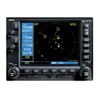
To resolve the issue of your Garmin GPS 175, GNX 375, or GNC 355 not powering on, begin by checking the circuit breakers and the main avionics switch. Ensure that power is correctly connected to the main 62-pin connector (P1751, P3751 or P3551) at pins 21 and 42, and that the ground is connected to pins 20 and 41.