Map Page—Controls
600-00151-001 Rev 01 -11- Envision EX5000
n Declutter—Controls the four levels of navigation database
detail on the Map from most to least:
n Base Map—Controls the base map layers:
u TERRAIN—Color-contoured terrain, bodies of water, and
political boundaries.
u BASE—Bodies of water and Political boundaries
u NONE—No base map
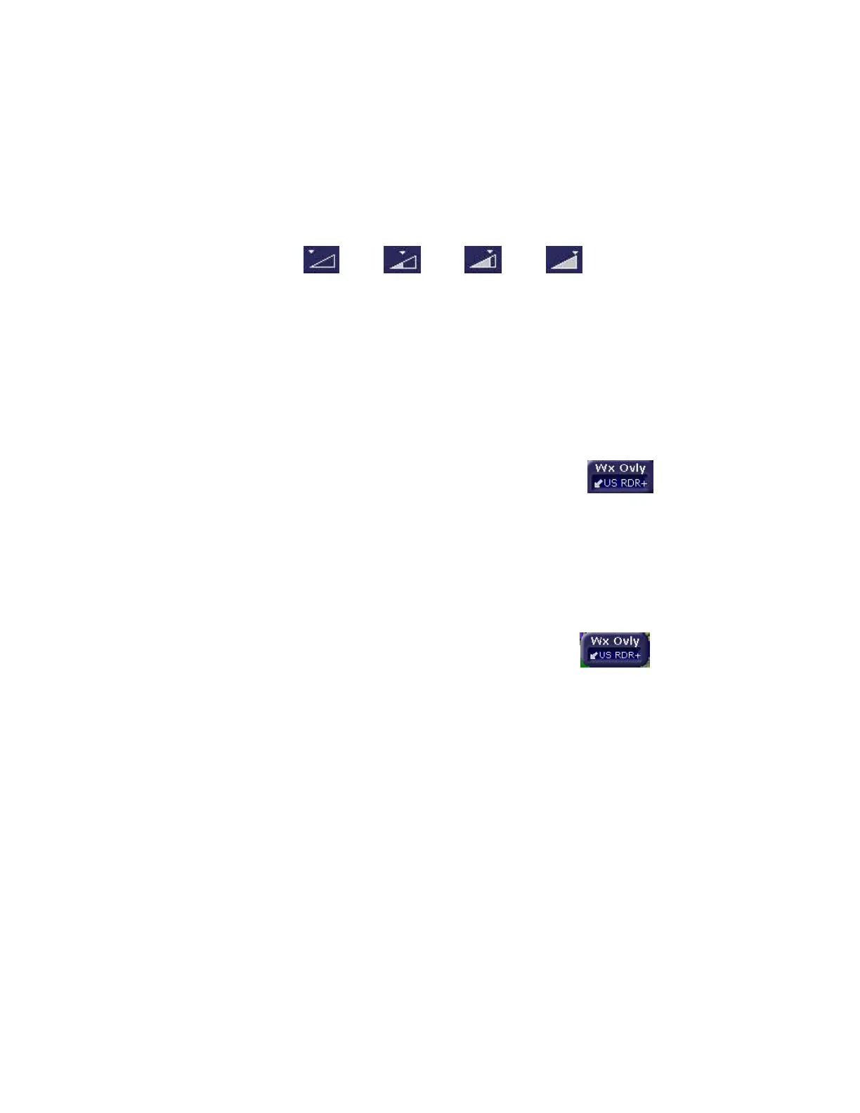
n Wx Ovly - Weather Overlay controls the type of weather
information displayed on the map. Press Wx Ovly to cycle
through the display options:
u US, CAN or LOC RDR - If Broadcast
Datalink is installed and available, the single
down arrow displays basic Datalink RADAR
information on the map. Storm cell movement is not
displayed. The external Broadcast Datalink receiver
receives a constant stream of weather data for the entire
United States via a satellite radio system. US RDR
displays CONUS weather. CAN RDR displays Canadian
weather. LOC RDR displays regional radar for ADS-B
configurations
u US RDR+ - If Broadcast Datalink is installed
and available (depending on your Datalink
service level), the single down arrow and
plus sign displays full Datalink RADAR for CONUS,
including storm cells.
For many operations, the EX5000 displays weather data
in the same way, regardless of which Datalink system is
in use. Both systems provide datalink radar data—a
composite image depicting precipitation as seen by
multiple ground-based weather radar sites. The image is
color-coded to show intensity levels and precipitation
types. Broadcast Datalink, however, especially at a
ááá
 Loading...


