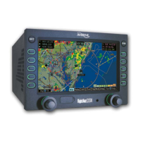
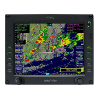
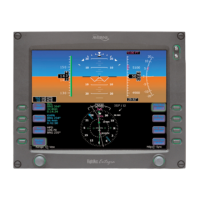
Trip Page Information
600-00078-001 Rev 05 -71- Avidyne EX500/EX600 MFD
◆ Chart Icon - Indicates that a chart is available for the
associated airport. An “I” on the icon indicates that at
least one ILS approach chart is available for the
associated airport, on the CMax Chart page. Chart icons
are displayed only for those airports for which you have
JeppView subscription coverage. For more information,
see Chapter 6 "CMax Chart Pages (Optional).
■ When the EX500/EX600 Datalink is enabled, any leg on your
flight plan that is longer than 100NM generates “intermediate
waypoints” to display en route weather. These points are
identified with a Wx: prefix, rather than To: in the flight plan
display.
2) Current ground speed and track - As reported by your GPS.
3) Course Deviation Indicator (CDI) - Shows the lateral distance
(Crosstrack deviation) from desired course, providing continuous
navigation reference when viewing the Trip page.
4) Local and UTC time in HH:MM:SS using a 24-hour clock format.
5) Destination Airport Info - Provides quick access to airport
information for the destination airport. Press Airport Info to
display a page similar to Figure 7.3 on page 77.
6) Display - Controls the display shown in the lower portion of the
screen. Press Display to toggle through the selections. The
selections available depend on your options.
■ - Displays the decoded text METAR for the
selected waypoint, when available:
Note: The EX500/EX600 translates coded METAR reports into
plain English. Should the MFD fail to translate a particular
message, part of the METAR report might not be available
and will not be displayed. The absence of displayed data
does not mean that data is zero (for example, the absence of