9.1Chartapplicationoverview
Thechartapplicationprovidesanelectronicchartwithpassage
planningandnavigationfeatures.Itcombines2Dand3Dviewpoints
andprovidesavarietyofcartographicinformationregardingyour
surroundingsandchartedobjects.
Typicalusesforthechartapplicationinclude:
•Monitoryourvessellocationandheading.
•Interpretyoursurroundings.
•Measuredistanceandbearing.
•Navigateusingwaypoints.
•Plan,andNavigateusingroutes.
•Monitorxedandmovingobjectsusingradaroverlay.
•MonitorvesselsinyourvicinityusingAISdata.
•Keeptrackandrecordyourcourse.
•Viewinformationforchartedobjects.
•OverlayNOWRadweatherinformation.
•Overlayaerialphotosandotherchartenhancements
Note:Toobtainfull3Ddetail,youmusthavechartcards
containing3Dcartographyfortheappropriategeographicarea.
Youcanalsouseyourmultifunctiondisplaytocustomizeyourchart
applicationtoyourownparticularrequirementsandcircumstances.
Youcan:
•Alterthewaythechartisdrawninrelationtoyourvesselandthe
directionyouaretravellingin(chartorientationandmotionmode).
•Manageandeditchartdatayouhaveentered.
•Controlthelevelofdetaildisplayedon-screen.
Chartdatum
Thechartdatumsettingaffectstheaccuracyofthevesselposition
informationdisplayedinthechartapplication.
InorderforyourGPSreceiverandmultifunctiondisplaytocorrelate
accuratelywithyourpapercharts,theymustbeusingthesame
datum.
ThedefaultdatumforyourmultifunctiondisplayisWGS1984.If
thisisnotthedatumusedbyyourpapercharts,youcanchange
thedatumusedbyyourmultifunctiondisplay,usingthesystem
preferencespage.Thesystempreferencespagecanbeaccessed
fromthehomescreen:Set-up>SystemSettings>System
Preferences>SystemDatum.
Whenyouchangethedatumforyourmultifunctiondisplay,the
chartgridwillsubsequentlymoveaccordingtothenewdatum,and
thelatitude/longitudeofthecartographicfeatureswillalsochange
accordingly.Yourmultifunctiondisplaywillattempttosetupany
GPSreceivertothenewdatum,asfollows:
•IfyourmultifunctiondisplayhasabuiltinGPSreceiveritwill
automaticallycorrelateeachtimeyouchangethedatum.
•IfyouhaveaRaymarineGPSreceiverusingSeaT alkor
SeaTalk
ng
,itwillautomaticallycorrelateeachtimeyouchangethe
datumonthemultifunctiondisplay.
•IfyouhaveaRaymarineGPSreceiverusingNMEA0183,ora
third-partyGPSreceiver,youmustcorrelateitseparately.
Itmaybepossibletouseyourmultifunctiondisplaytocorrelate
anNMEA0183GPSreceiver.FromthehomescreengotoSet-up
>Systemsettings>GPSSet-up>ViewSatelliteStatus.Ifthe
datumversionisdisplayed,itmaybepossibletochangeit.From
thehomescreengotoSet-up>Systemsettings>DataSources
>GPSDatum.
Note:Raymarinerecommendsthatyoucheckthedisplayed
vesselpositioninthechartapplicationagainstyouractual
proximitytoaknownchartedobject.AtypicalGPShasan
accuracyofbetween5and15m.
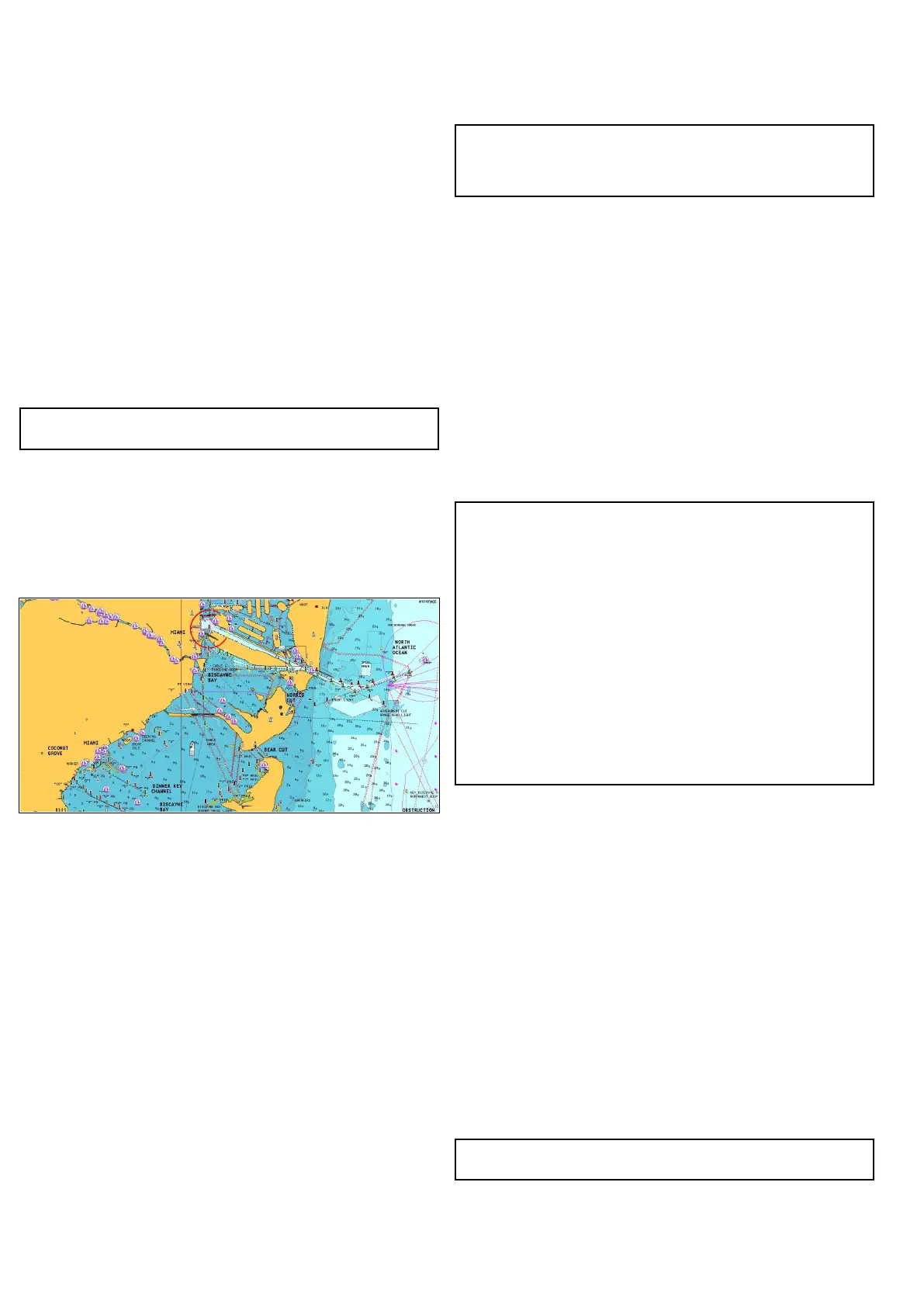
Chartcardsoverview
Chartcardsprovideadditionalcartographicinformation.
Obtaindetailedcartographicinformationfortheareathat
younavigateusingNavionics®chartcards.T ocheckthe
currentavailabilityofNavionicschartcardtypes,please
visitwww.navionics.comorwww.navionics.it.Theamountof
cartographicdetailshownvariesfordifferentareasandfordifferent
scales.Thechartscaleinuseisindicatedbyanumberanda
horizontallineinthestatusbar—thenumberrepresentsthe
distancethehorizontallinerepresentsinnauticalmileshorizontally
acrossthechart.
Youcanremoveandinsertchartcardswhileachartisdisplayed
providedthatyoufollowthecorrectprocedure.Thechartinformation
isretainedon-screenuntilthechartapplicationredrawsthescreen;
forexample,whenyoupanoutsidethecurrentarea,orusethe
Rangecontroltochangethechartscale.
Caution:Careofchartandmemory
cards
Toavoidirreparabledamagetoand/orlossofdata
fromchartandmemorycards:
•Ensurethatchartandmemorycardsarettedthe
correctwayaround.DONOTtrytoforceacardinto
position.
•DONOTsavedata(waypoints,routes,andsoon)
toachartcard,asthechartsmaybeoverwritten.
•DONOTuseametallicinstrumentsuchasa
screwdriverorplierstoinsertorremoveachartor
memorycard.
•Saferemoval.Alwayspowertheunitoffbefore
insertingorremovingachartormemorycard.
Chartcompatibility
Yourmultifunctiondisplayissuppliedwithabasemapand
dependingonunitaNavionicschartcard.Youmayalsopurchase
Navionicschartcardstogetenhancedchartdetailsandadditional
chartfeatures.
YourmultifunctiondisplayiscompatiblewiththefollowingNavionics
chartcards:
•ReadytoNavigate
•Silver
•Gold
•Gold+
•Platinum
•Platinum+
•Fish’NChip
•Hotmaps
Note:RefertotheRaymarinewebsite(www.raymarine.com)for
thelatestlistofsupportedchartcards.
96e7/e7D/e95/e97/e125/e127/c95/c97/c125/c127
 Loading...


