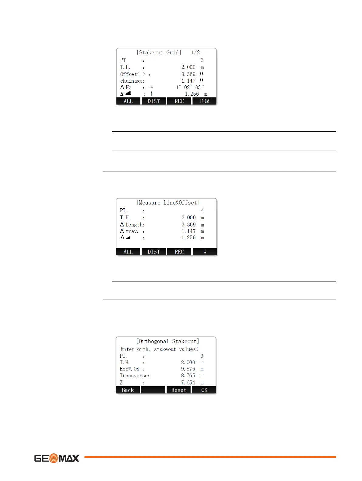
Staking out a grid point
1. To select a grid point, select "Offset" or "chainage" and use the LEFT/RIGHT keys.
2. To select the desired stakeout mode, press the PAGE key.
•
For Polar Stakeout mode, display screen 1/2.
•
For Orthogonal to Station Stakeout mode, display screen 2/2.
☞
For a detailed description of stakeout modes, refer to "9.3 Stakeout".
The Measure Line&Offset subapplication calculates longitudinal offsets, parallel offsets and height
differences of a measured or stored target point relative to the reference line.
1. Set the target point.
2. After setting the target point, the offsets and height differences are calculated.
The Orthogonal Stakeout subapplication calculates the difference between a measured point and
the calculated point. The orthogonal and polar differences are displayed.
Defining the offset parameters
Measure Line&Offset
Orthogonal stakeout
Application 79

 Loading...


