181
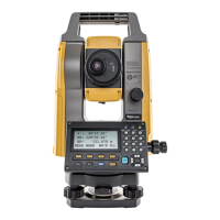
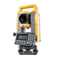
33. CHANGING THE SETTINGS
• "Road" in "Mode (Distance measurement Mode)" is displayed only when "N-Prism" is selected in
<Reflector>.
"33.3 Observation Conditions - Reflector (Target)"
Road
"Road" is the specialized distance mode to measure road surface etc. by sighting obliquely and to obtain
rough measurement values. "Road" can be selected only when "Reflector" is set to "N-Prism". Even if
"Road" is selected, "Distance mode" changes to "Tracking" automatically when "Reflector" is set to other
than "N-Prism".
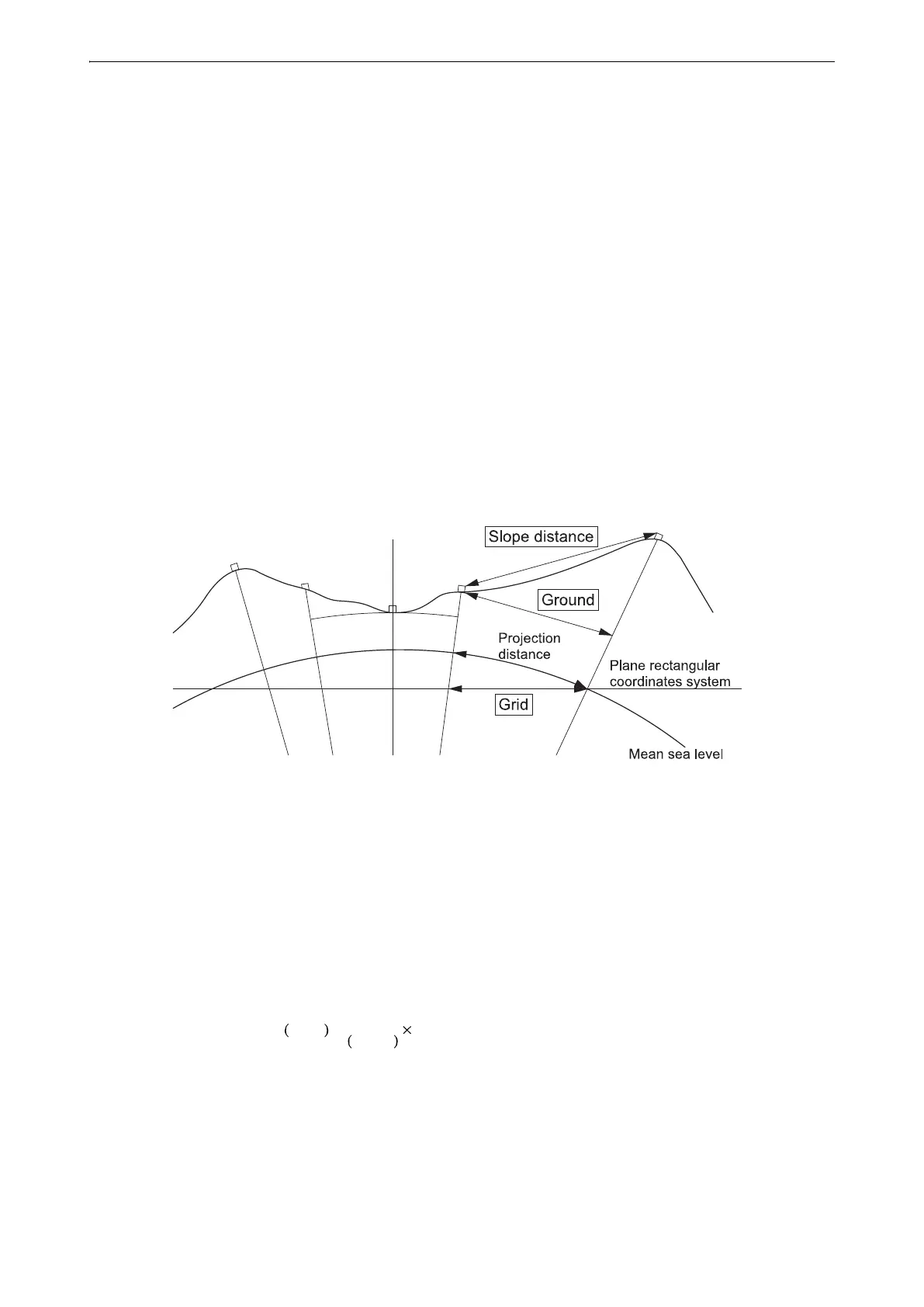
Horizontal distance (H Dist)
The GM calculates the horizontal distance using the slope distance.
There are the following 2 ways to display the horizontal distance data.
Ground:
The distance that reflects neither the Sea level correction factor nor the Scale factor.
Grid:
The distance in the plane rectangular coordinates system that reflects the Sea level correction and Scale
factors (or the distance in the plane rectangular coordinates system that reflects the Scale factor only,
when "No" is set for "Sea level crn".)
• The horizontal distance data recorded in this instrument is the ground distance only, and the displayed value
changes according to the settings for the horizontal distance. When reviewing the observation data in the
TOPO menu, set "Horizontal distance" and "Scale factor" so that the intended value is displayed.
• If horizontal distance is requested when selecting "T type" or by the GTS command, uncorrected "ground
distance" is output, regardless of the Sea level correction or Scale factor setting.
Sea level correction
The GM calculates horizontal distance using slope distance values. As this horizontal distance does not
take height above sea level into consideration, performing spherical correction is recommended when
measuring at high altitudes. Spherical distance is calculated as follows.
Where:
R = radius of the spheroid (6371000.000 m)
H= averaged elevation of the instrument point and target point
HDg=Spherical distance
HD = horizontal distance
*1 The averaged elevation is automatically calculated from the instrument point elevation and the
collimation point elevation.
HDg
R
R H+
-------------------- HD=
 Loading...