Using TILT Correction
5-11
P/N: 1023998-01
Configuration
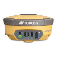
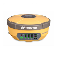
Perform a Factory Reset Using the LED Display
1. Press and hold the Power button for 10–15 seconds.
2. Release the Power button when STAT LED turns magenta.
3. Wait until the STAT and REC LEDs blink orange.
4. Wait until the STAT and REC LEDs turn green.
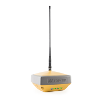
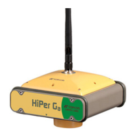
Using TILT Correction
The receiver contains the internal HIMU (Hybrid Inertial Measurement Unit) module. The module
includes 3D gyroscope, 3D accelerometer and 3D magnetometer. GNSS firmware of the HiPer VR
contains the ELC (Electronic Level and Compass) program module. This module uses the measured
parameters from the HIMU, receiver navigation coordinates from the GNSS firmware, and a magnetic
field map for calculation tilt angles in the horizontal plane, true (not magnetic) azimuth and magnetic
field value. Using these data, HiPer VR solves the following tasks:
1. Calculates the tilt angle of the pole and transmits the value to field software. The software will calculate
the true coordinate of the measured ground point. You can activate this mode using MAGNET Field
(version 5.1 and higher). For the Topographic, Auto-topographic, and Stake survey, MAGNET Field uses
the tilt angle of the pole from the ELC module to calculate the offset of the GNSS antenna phase center in
the horizontal plane, for each GNSS epoch. These offset values are used for obtaining the true coordinates
of the measured ground point. This mode will work if the current tilt angle does not exceed the threshold
value. A user can specify this value in the range from 1 to 15 degrees.
Figure 5-12: Tilt Correction Mode
The procedure for loading new firmware into the HiPer VR can be performed using
MAGNET Field software version 5.1 and higher.