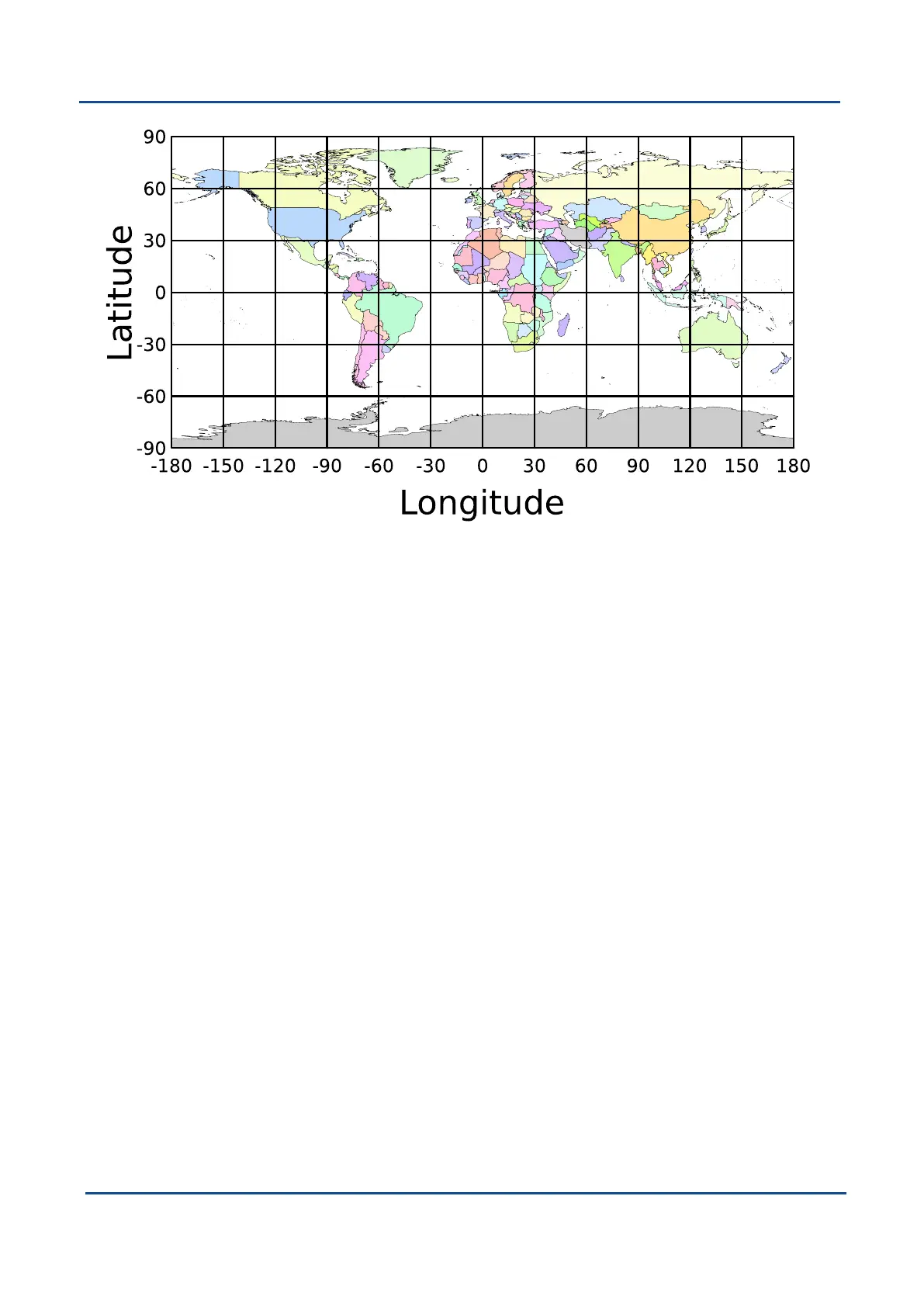
Figure 57: World map showing latitudes and longitudes
Latitude and longitude give the 2D point on the surface of the Earth. These are combined with height to give the
3D position on the Earth.
Height is the height above the WGS84 reference ellipsoid. The WGS84 reference ellipsoid is a model used to
approximate sea level across the Earth. Due to the approximate nature of the WGS84 model, the WGS84
height will not be the same as the actual sea level. For example, in Australia, the WGS84 height is 9m above
true sea level at some locations.
11.6 NED Co-ordinate Frame
The NED (North East Down) co-ordinate frame is used to express velocities and relative positions. The origin of
the co-ordinate frame is the current position. From that origin, the north axis points true north and parallel to the
line of latitude at that point. The east axis points perpendicular to the north axis and parallel to the line of
longitude at that point. The down axis points directly down towards the centre of the Earth. See the figure below
for a graphical representation of the NED co-ordinate frame at a position on the Earth.
v2.0 Page 126 04 Nov 2021
GNSS Compass Reference Manual • GNSS Compass Reference Information