315
HARVEST
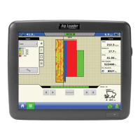
HARVEST MONITORING/MAPPING
- If the actual moisture is below the set dry moisture percentage and "Expand Bushels for All Grains
Below Dry %" is checked, it will display bushels as if the moisture of the grain is at the specified dry
percentage.
Note: The Wet Bushels and Dry Bushels Status Items do not appear if you are using metric system
measurements.
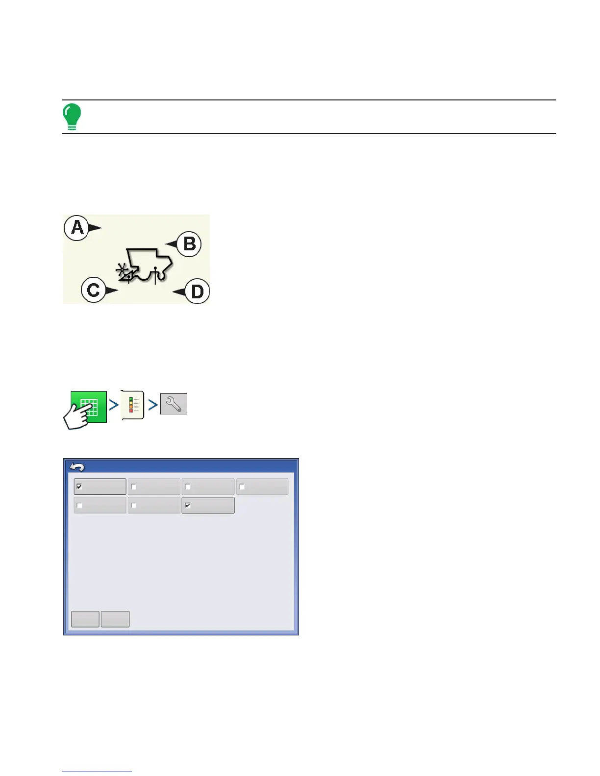
HARVEST DIAGNOSTIC BUTTON ON MAP SCREEN
The Harvest Diagnostic button appears at the bottom right-hand portion of the Harvest Map screen.
Pressing this button summons the Harvest Diagnostic screen; for more information see
“Grain Harvest
Diagnostics” on page 319. Other data that appears by the Harvest Diagnostic button is described below.
• (A) Swath Width
Displays current swath width that is being harvested.
• (B) Bushels Per Hour
Displays the bushels harvested per hour (bu/hr).
• (C) Header Height
Displays percentage of header height.
• (D) Elevator Speed
Shown in Revolutions Per Minute (RPM).
MAP OPTIONS
Press: Map button > Legend tab > Setup (wrench) button
During Harvest operations, the Map screen displays
two types of items in the Legend: Yield and Moisture.
The Legend Setup button on the Map Legend Tab of
the Mapping Toolbox opens the Map Options
screen.
• Press Data, Guidance, Boundary, Marker, Reference,
Rx and Grid to show or remove those items on the Map
screen.
• Press Clear Map to permanently remove all map data
from the active field operation
• Press Load Reference to load a map from a previous
operation performed in that field to view as a
background map.
2160 bu/h
Swath: 30 ft 0 in 100%
20
474 rpm
Data
Reference
Guidance
Rx
Boundary
Grid
Marker
Clear Map
Load
Reference
Map Options