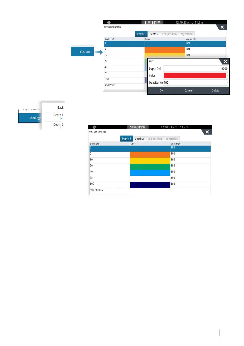
In the following example water depth from 5 meters to 10 meters
will be shaded yellow in the chart when Depth 1 is the selected
shading in the menu.
3D exaggeration
Graphical settings that are available in 3D mode only. Exaggeration
is a multiplier applied to the drawn height of hills on land, and
troughs in water to make them look taller or deeper.
Ú
Note: This option is grayed out if the data is not available in the
map card inserted.
Genesis Layer
The Genesis Layer displays high-resolution contours contributed by
Genesis users that have passed a quality check.
This option toggles the Genesis layer on/off on the chart image.
Available only if the C-MAP chart contains Genesis Layer data.
Charts | GO XSE/XSR Operator Manual
45
 Loading...