Rock filter level
Hides rock identification on the chart beneath a given depth.
This helps you to declutter charts in areas where there are many
rocks located at depths well below your vessel's draught.
Contours depth
Determines which contours you see on the chart down to the
selected safety depth value.
Presentation type
Displays marine charting information such as symbols, colors of the
navigation chart and wording for either International or U.S.
presentation types.
Annotation
Determines what area information, such as names of locations and
notes of areas, is available to display.
Chart details
Provides you with different levels of geographical layer information.
Easy View
Magnifying feature that increases the size of chart items and text.
Ú
Note: There is no indication on the chart showing that this
feature is active.
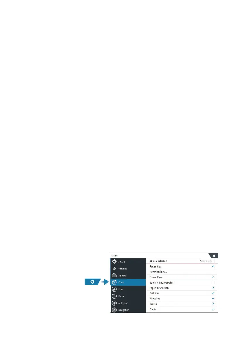
Chart settings
The options in the chart settings dialog depends on which chart
source is selected in the system.
50
Charts | GO XSE/XSR Operator Manual