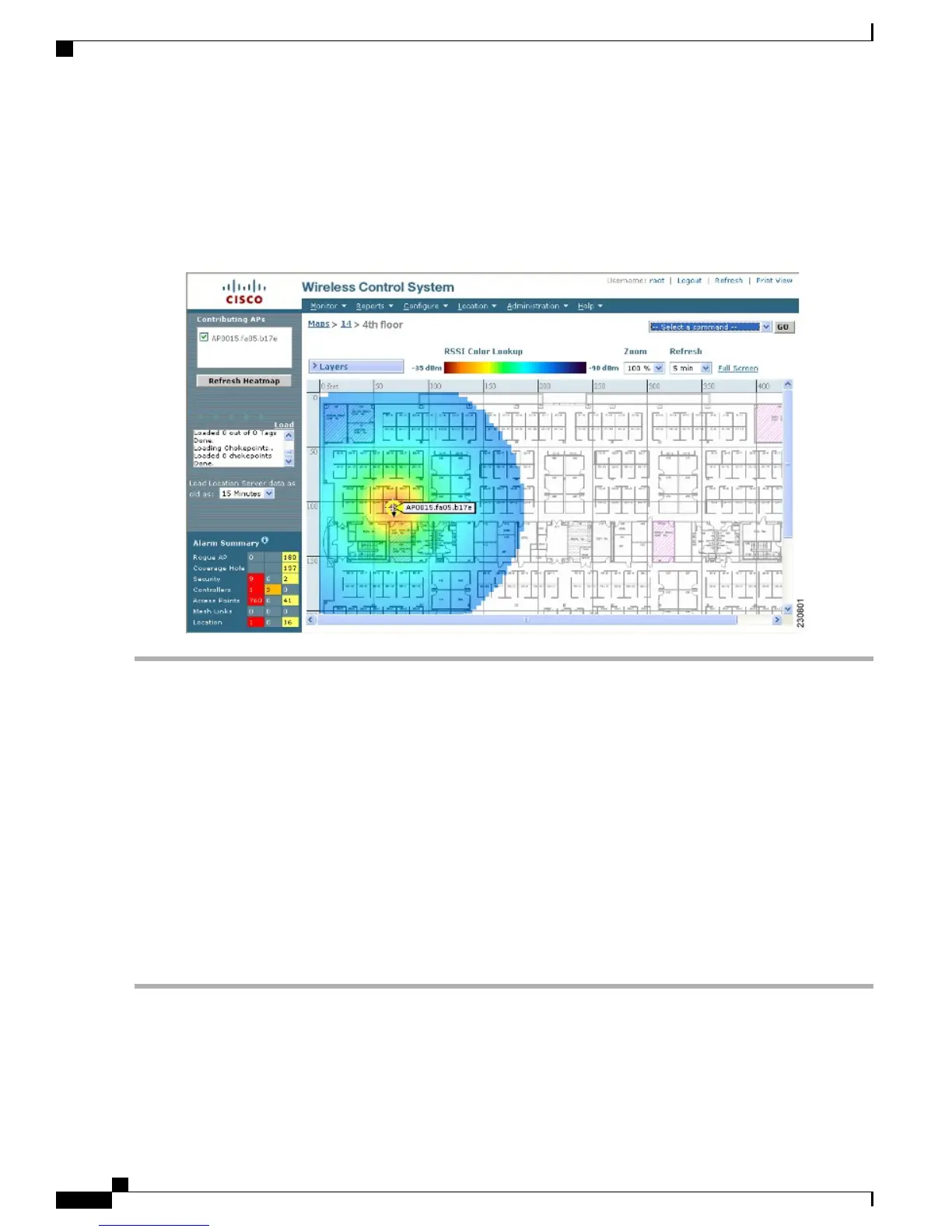
This display is only an approximation of the actual RF signal intensity because it does not take into account the
attenuation of various building materials, such as drywall or metal objects. It also does not display the effects
of RF signals bouncing off obstructions.
Figure 92: RF Prediction Heat Map
Note
Monitoring Mesh Access Points Using Google Earth
Cisco Prime Infrastructure supports both Google Earth Map Plus or Pro and displays, when present, mesh
access points and their links.
Launching Google Earth in Cisco Prime Infrastructure
Cisco Prime Infrastructure supports both Google Earth Map Plus or Pro and displays, when present, mesh
access points and their links.
To launch Google Earth maps, follow these steps:
Step 1
Launch Google Earth plus or pro and add a new folder.
Step 2
Create a mesh access points placemark on Google Earth plus or pro.
You must use the exact name of the mesh access point when creating the placement mark to ensure Prime
Infrastructure can recognize these mesh access points.
Note
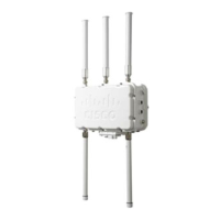
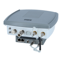
Cisco Mesh Access Points, Design and Deployment Guide, Release 7.3
232 OL-27593-01
Managing Mesh Access Points with Cisco Prime Infrastructure
Monitoring Mesh Access Points Using Google Earth