Release date: 01 Nov 2021
Revision: 1.0
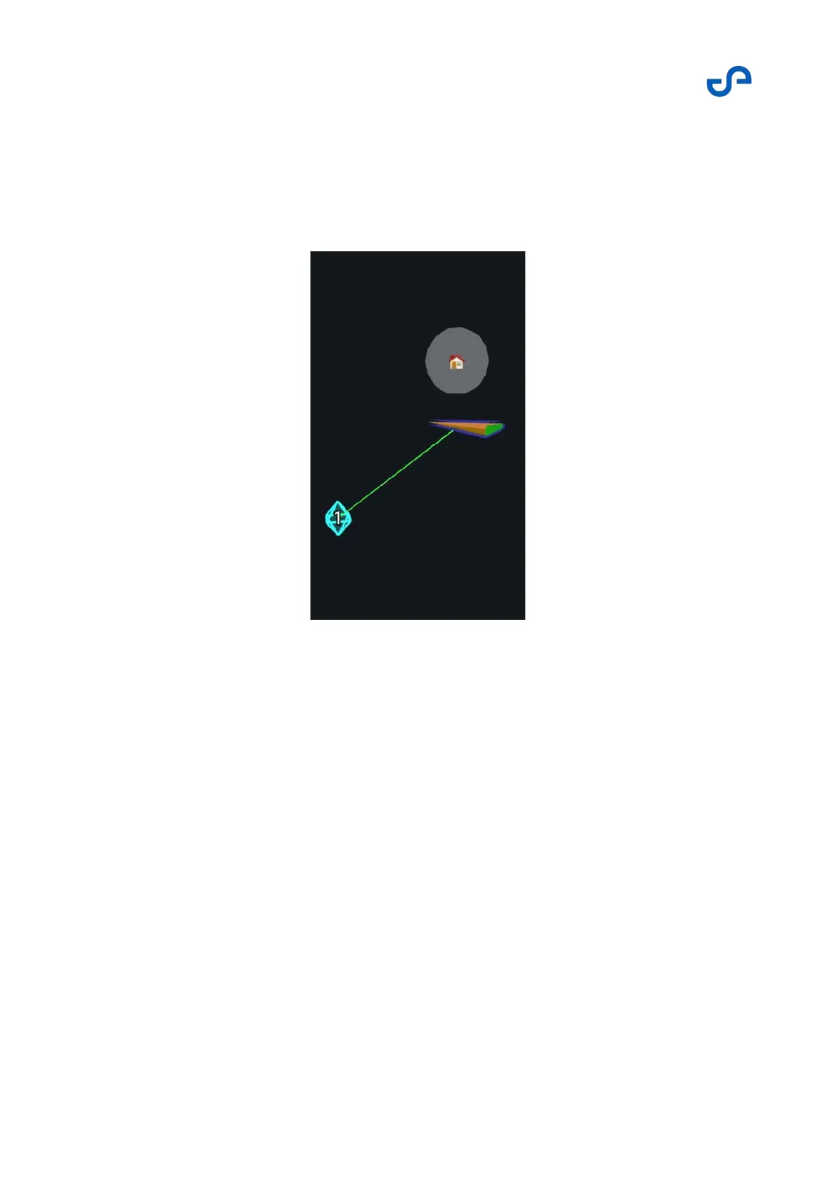
3D waypoints
A 3D waypoint has specific X, Y, and Z coordinates, relative to the starting position. Hovermap will
attempt to navigate the drone to this singular point in space. 3D waypoints are slower to place during a
mission. However, they provide the most precise drone placement. 3D waypoints are best placed using
the top view in the View Controller for X and Y positions, and then the left view for the Z position.
Slack
Slack is the distance from each waypoint that Hovermap will attempt to achieve. This distance is user-
definable. A large slack allows for rapid waypoint achievement. It is a “best-effort” mode, where
Hovermap will attempt to reach the exact location, but will mark the waypoint as achieved if it reached
any location within the slack distance.
Conversely, a small slack can be used to ensure that a particular location is achieved with greater
accuracy. However, a small slack also means that the system will have to work harder to achieve a
waypoint. In an environment that you may not have full knowledge of (for example, you can’t see where
the obstacles are), this can result in the waypoint being unachievable. If Hovermap can’t achieve a
waypoint, the mission may be aborted. Refer to Poor Waypoint Failsafe in the Emergency Procedures
section for more information.