6.2 Accuracy of MAP Files
A small price is paid when using MAP files. Unlike GTM files that allow full edition and register the coordinates with
13 decimal places, the MAP files may present small errors of accuracy that depends how the file was created.
For Waypoints, the maximum error is 10 inches (25 cm) close to the Line of Ecuador.
For Tracklogs, the error depends on the maximum size of the largest segment. See the table below:
Maximum Size of the Largest Segment Maximum Error
8,958 yards 10 inches
17,917 yards 20 inches
26,875 yards 30 inches
35,834 yards 40 inches
... ...
2,284,513 yards 69.72 yards
Above 2,284,513 yards 1328 yards
The maximum error may occur in equatorial region. As closer as Earth’s poles, smaller will be the error.
To minimize the error in Tracklogs, avoid to create big segments together with small segments. Big segments
increase the error in the small segments.
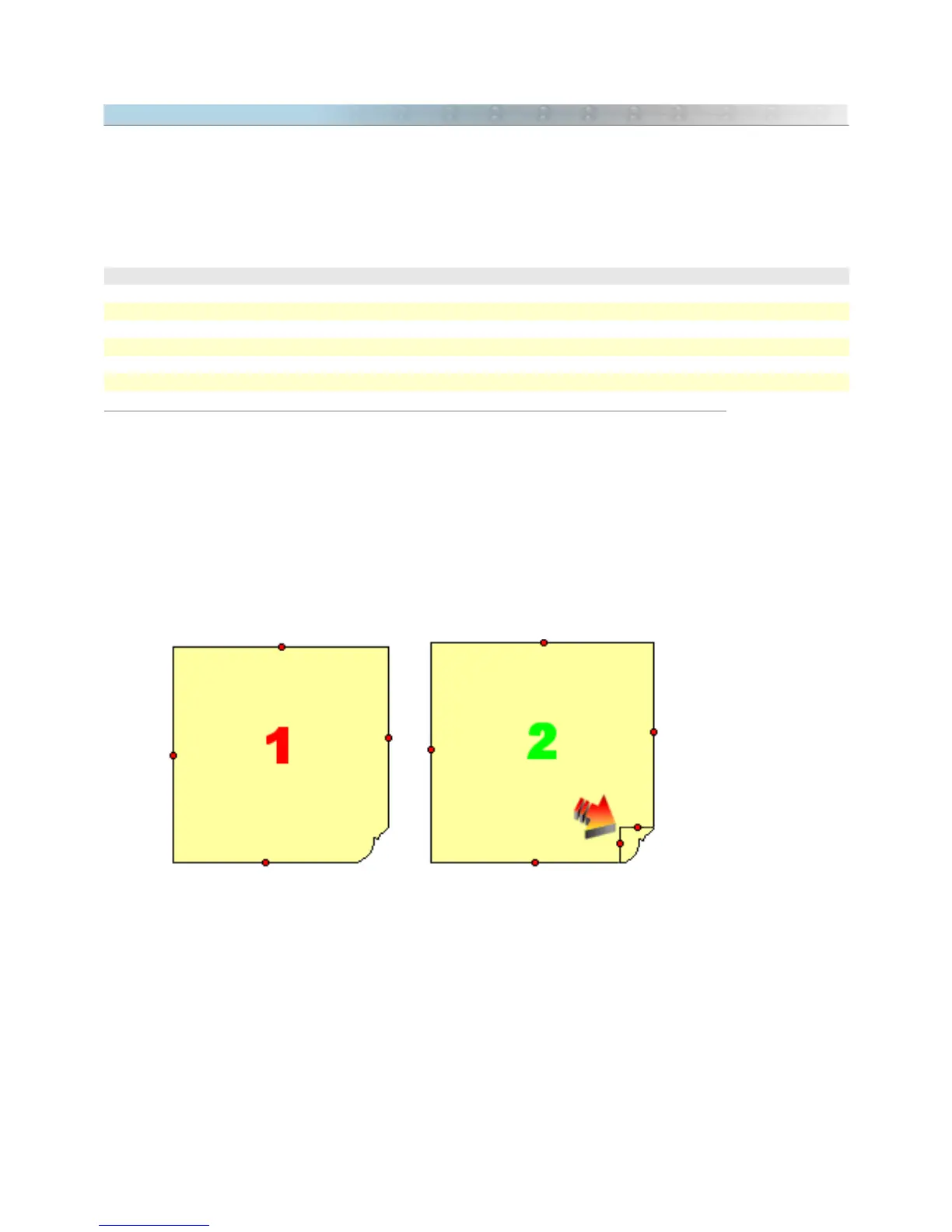
The polygon 1 in the picture below must be avoided. To get a best result, transform it to the polygon 2 that is
more homogeneous.
Another way to eliminate big segments united to small segments is to use the toll called Homogenize Points of
Tracklogs located in
Tools -> Tracklogs and Routes.
Finally, remember that all information above applies only to MAP files and not to GTM files.
62