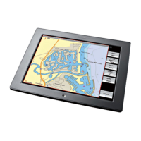
3.5 Chart: Show vessel status and position
Use this to quickly display your:
• current position coordinates
• COG (Course-Over-Ground)
• SOG (Speed-Over-Ground)
• chart datum
• time data
• TDs, GPS, Loran, or DGPS data details.
¾
To show your status and position:
• Select Pages then Position.
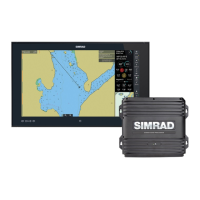
3.6 Chart: Position data sources
The GB40 can receive Lat/Long coordinates from several sources,
depending on the type of receivers that are connected. These
include:
• GPS
• GPS enhanced by WAAS
• GPS enhanced by DGPS
• Loran or Phantom Loran
GPS satellites are the primary source of position data but,
depending on the type of receivers that are connected to your
GB40 and your personal preferences, you can choose to display
your vessel's position as Lat/Long coordinates OR as Loran Time
Differences (TDs) coordinates.
Loran coordinates can be calculated from the GPS coordinates (this
is known as Phantom Loran).
3.7 Chart: Instant GoTo
¾
To create an instant, temporary waypoint and go to it:
• Make the Chart pane active.
• You can either:
◦ select the location on the Chart that you want to go to, then
select
GoTo Here OR
◦ select GoTo then GoTo Cursor, then select the location
on the
Chart that you want to go to.
Chart |47