¾
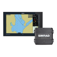
To overlay GMDSS, SAR, roads, relief on the chart:
• Make the Chart pane active.
• Select
Chart Overlays. (If this button is not in the main
menu, make the
Chart pane active, or select Return /
Settings
.)
• Select
More Overlays.
The GB40 displays the More Overlays box with a list of overlays
and their current status. (
Yes means the overlay is On, No
means the overlay is Off.) Select an overlay.
• Select
Overlay Enabled to change the setting of that
overlay.
• Repeat to change another overlay setting.
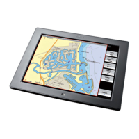
3.34 Chart: Information about an object
¾
To show information about an object on the chart:
• Select the object that you want information about.
The object is marked with a red icon and a new menu is
displayed.
• If
Object Info is Off, select it to switch it On.
Some information about the object will be displayed.
• To show more information, select Query Chart. The GB40
display the Chart Object Details box which shows more
information about that object.
There may be a scroll bar at the side of the right hand box if
there's a lot of information. Drag the scroll bar to reveal it.
• Select
Return twice.
3.35 Chart: Routes & waypoints
Routes are groups of waypoints that create a navigational guide.
The GB40 stores all your routes in the Routes Library. Named
waypoints are stored in the Waypoints Library.
66 | Chart