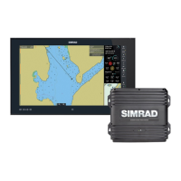
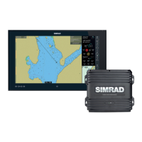
Local
Show boat On
Show boat mode Center
Chart orientation
Head Up
Guard zone Off
Predictor Off
Track Off
Boat symbol Boat
Chart detail Full
Tides Info On
Shade safe depths Off
Hide safe soundings Off
Light sectors Off
Chart text On
Chart boundary Off
Lat/Long grid Off
Ports and Marinas overlay On
Chart object overlay On
Radar overlay Off
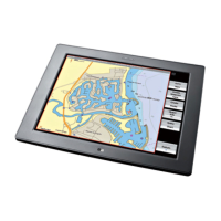
3.29 Chart: Overlays
When you're viewing the Chart screen, you can overlay any or all
of the following information:
• the
Radar
• satellite and aerial photographs for land areas, if these are
available for that area
• tide stations, tidal flow and currents
• location of ports and marinas
• roads and symbols that show sites of interest, such as tourist
spots and public car parks. You can also select a symbol and
show the details of that site of interest.
• GDMSS regions (Global Maritime Distress and Safety System)
• SAR areas (Search and Rescue areas)
62 | Chart