Chapter 11 – Field Menu
83
2.
Select / Field Menu / Select Field to choose the
client, farm and field names. The boundary will appear on the
screen.
3.
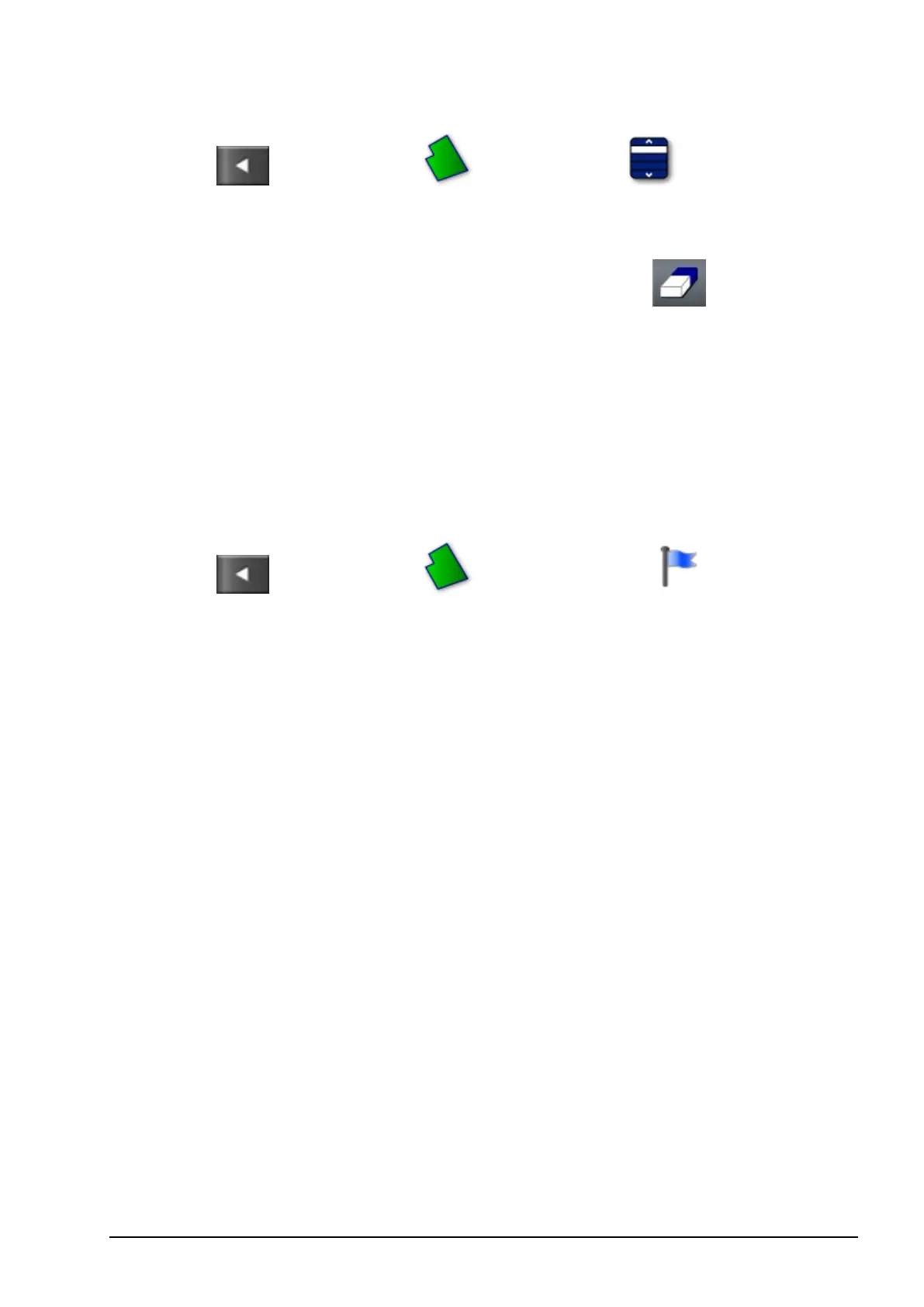
To remove the boundary, select Clear Boundary . A message
will ask for confirmation.
Note: Erasing boundaries is a permanent action.
11.4. Setting flag points
Flag points are used on the guidance map to indicate obstacles and
noted items in the field.
1. Drive to the item to be flagged.
2.
Select / Field Menu / Set Flag Point .
3. To flag the obstacle, choose a flag symbol to be placed at that spot
on the map.
Note: To change Flag Point presets, refer to Setting up flag points,
page 38.
4. To customize flag points, select Custom to define a particular flag
point.
5. Select the required symbol.
6. Select FLAG POINT NAME and enter the name. Confirm the
name. Confirm to add the customized flag point.
11.4.1. Removing or changing a flag point
To remove or change a flag point:
1. Press and hold on the flag point marker on the screen for 0.5
seconds.