394149/D
283
Supporteddatagramformatsforexternaldepthinput
TheEK80canreceivedepthinformationfromenexternalechosounder.
TheEK80supportsthefollowingdatagramformatfordepthinformationfromanecho
sounder:
•NMEADPT
TheNMEADPTdatagramprovidesthewaterdepthrelativetothetransducer,and
theoffsetofthemeasuringtransducer.
Relatedtopics
Interfacespecications,page281
Technicalspecications,page279
Supporteddatagramformatsforpositioninformation
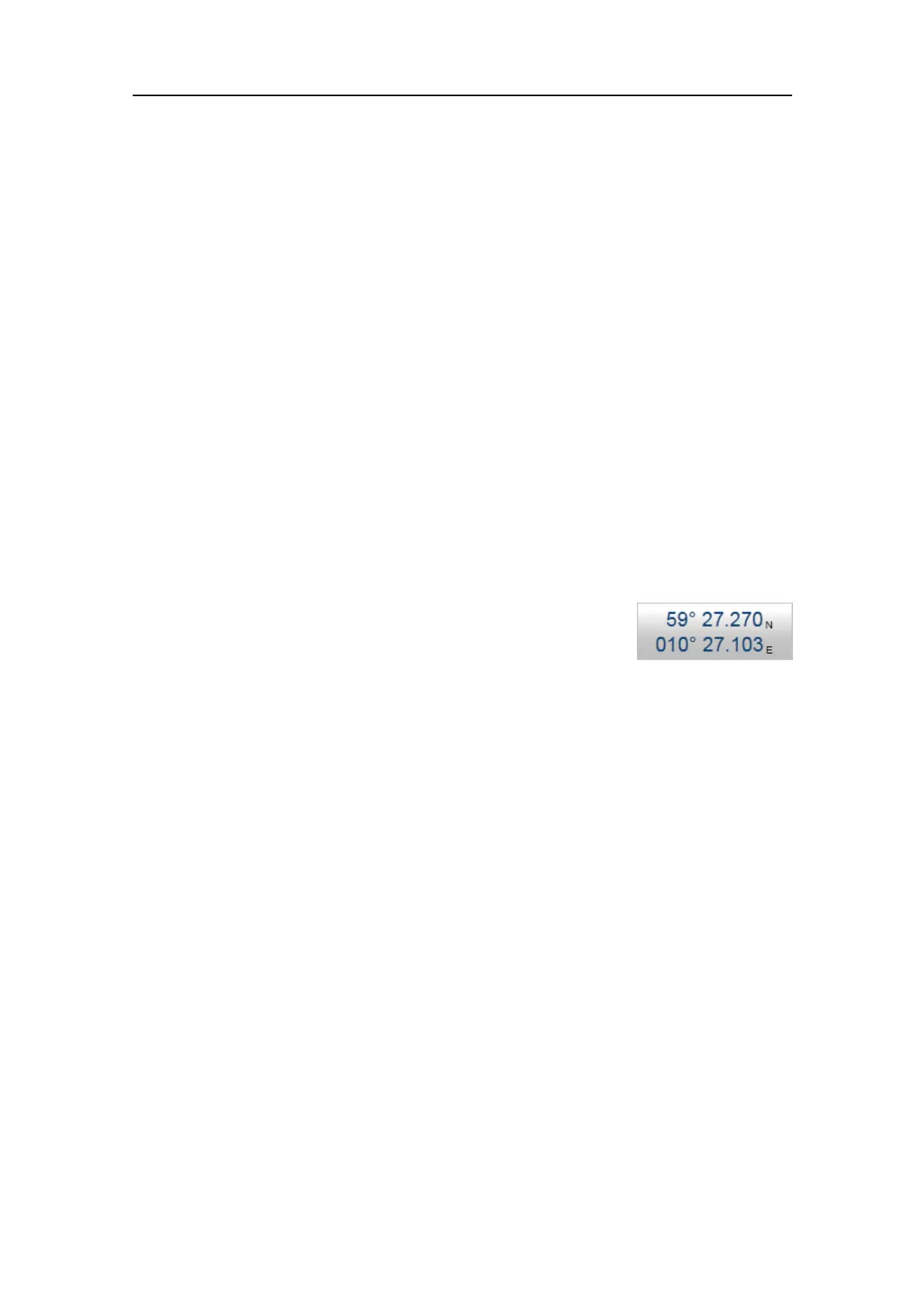
AccurateandreliableinformationfromnavigationsystemsareusefulfortheEK80
operation.Whenenabled,thevessel'scurrentgeographicalpositionisshownonthe
topbar.
TheEK80supportsthefollowingdatagramformatsforposition
information.
•NMEAGLL
TheNMEAGLLdatagramtransfersthelatitudeandlongitudeofvesselposition,the
timeofthepositionxandthecurrentstatusfromaglobalpositioningsystem(GPS).
•NMEAGGA
TheNMEAGGAdatagramtransferstime-,position-andx-relateddatafroma
globalpositioningsystem(GPS).
•NMEAGGK
TheNMEAGGKdatagramisusedtodecodethePTNL,Time,Position,Typeand
DOP(DilutionofPrecision)stringoftheNMEA0183output.
•PTNLGGK
PTNLGGKisaproprietarydatagramfromTrimble(https://www.trimble.com).Itis
longerthanthestandardNMEAGGKdatagram.ThePTNLGGKdatagramisusedto
decodethetime,position,typeanddilutionofprecisionofthecurrentposition.
•NMEARMC
TheNMEARMCdatagramtransfersthetime,date,position,courseandspeeddata
fromaglobalnavigationsatellitesystem(GNSS)receiver.
•NMEAVTG
TheNMEAVTGdatagramcontainstheactualcourseandspeedrelativetotheground.
Technicalspecications
 Loading...