43
Trinity F90+ user manual
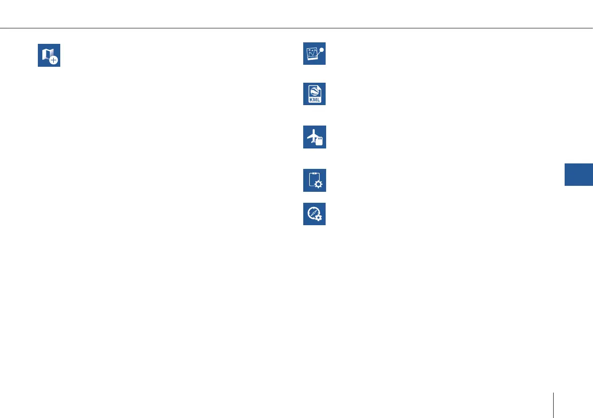
Create Map
Ofine maps are generated based on the informa-
tion of the online maps. During the creation process
QBase needs to be connected to the internet.
1. Select Pan To in the left section and search for the
area that you wish to create the ofine map of or
zoom to the desired location.
2. Boundaries are marked with a green rectangle.
Please add some margin between the boundar-
ies of the ofine map and the desired ight area.
It is possible to switch between horizontal and
vertical orientation.
3. The Max. Zoom (maximum level of detail) is di-
splayed in the top left corner. In order to change
it please use the scroll bar in the right panel.
Recommended zoom level: 17 – 18.
4. Set a name for the ofine map.
5. Select Download in order to save the ofine map.
If the Download button is disabled either decrea-
se the Max. Zoom (maximum level of detail) or
decrease the area of the ofine map.
The map is saved in Documents > QBase > Maps.
FlyLog debrief
FlyLogs are generated during the ight and saved
on the autopilot board of the aircraft. Please
download the FlyLog from the UAV for the further
processing.
Import KML
Import your KML le to improve your mission
planning.
SD Card
See chapter 7.4.3
UAV Diagnosis
The autopilot will start an internal diagnosis of the
sensors and parameters. The diagnosis le will be
saved on the SD card as 'SYSLOG'.
Geo Tagging
QBase offers the possibility to geotag the pictures
that were taken during the mission with geodata.
This enables the user to post-process the pictures
with the help of a photogrammetry software.
QBase – Ground Control Station
7
Create Map
Ofine maps are generated based on the informa-
tion of the online maps. During the creation process
QBase needs to be connected to the internet.
1. Select Pan To in the left section and search for the
area that you wish to create the ofine map of or
zoom to the desired location.
2. Boundaries are marked with a green rectangle.
Please add some margin between the boundar-
ies of the ofine map and the desired ight area.
It is possible to switch between horizontal and
vertical orientation.
3. The Max. Zoom (maximum level of detail) is di-
splayed in the top left corner. In order to change
it please use the scroll bar in the right panel.
Recommended zoom level: 17 – 18.
4. Set a name for the ofine map.
5. Select Download in order to save the ofine map.
If the Download button is disabled either decrea-
se the Max. Zoom (maximum level of detail) or
decrease the area of the ofine map.
The map is saved in Documents > QBase > Maps.
Post-Processing
Geotagging the pictures with the accurate PPK
coordinates. Please see chapter 7.4.3
Import KML
Import your KML le to improve your mission
planning.
SD Card
See chapter 7.4.3
Calibration
Calibrate the magnetometer and accelerometer.
iBase Converter
Convert the iBase Log le to Rinex 2.11
Map Layer
It is possible to import a custom map layer. The for-
mat needs to be a .tif le.
Please instert the corresponding le into Documents
> QBase > Maps > Layers.