49
Trinity F90+ user manual
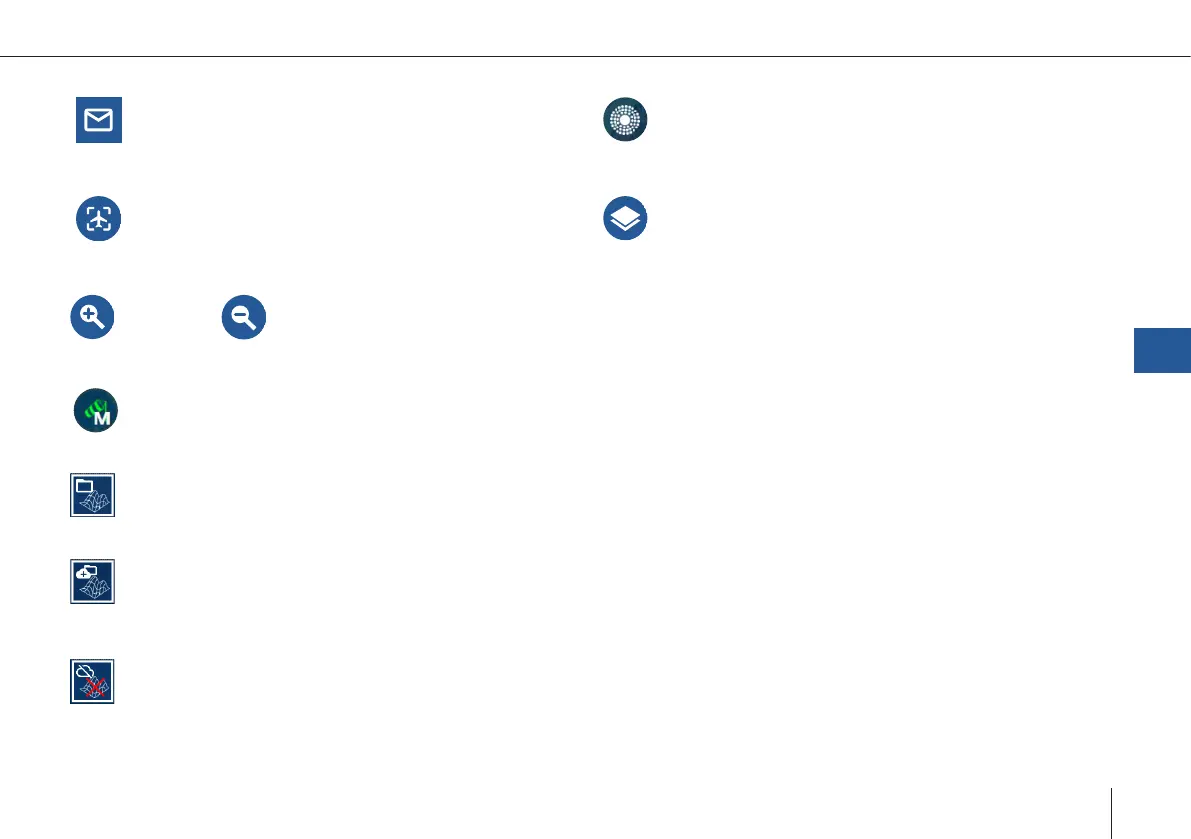
Message Dialog
Info, Warning, Error
Calculate Bearing
Get a bearing and range of the aircraft to your
selected reference position. This helps communica-
ting with ATC or other airspace users.
Lock Map To UAV
The map stays focused on the UAV.
Choose Map
The list includes online and ofine maps. To use
online maps, make sure your device is connected to
the internet.
Zoom in
Zoom out
Pan to Dialog
Select the button Pan to if you wish to pan to the
UAV, to the mission or if you wish to search for an
address.
Wind Map Settings
Adjust the display settings of the map.
GDAL
The user provided custom elevation les are used
as the single data source.
MIXED
Both the SRTM data set and the user provided cus-
tom elevation les are used as data sources.
This is the case if not all ight path elements are
covered by the user provided le.
SRTM Downloading
The required SRTM elevation les are currently
being downloaded.
QBase – Ground Control Station
7
KML Editor
This feature is only available if the QBase3D Pro
license is activated, it features advanced KML
import and managing possibilities.
The tool offers the possibility to import and dis-
play multiple KML les and its elements.
The kml elemnts can be used for planning a
mission by drawing the mission elements
accordingly.