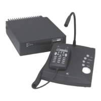
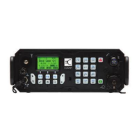
OPERATING THE TRANSCEIVER
USING GPS
84 ENVOY™ TRANSCEIVER GETTING STARTED GUIDE
1 Press (Close).
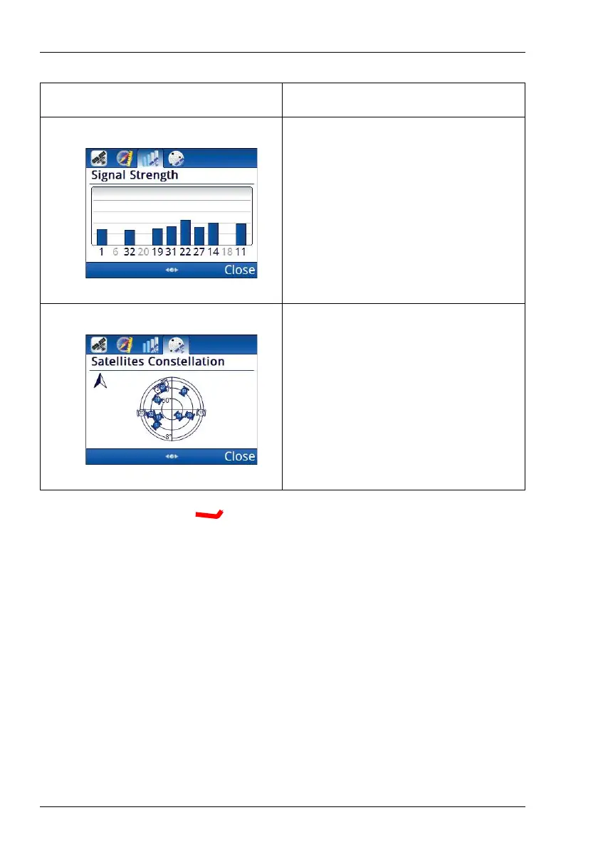
Shows the signal strength from each
visible satellite. The number represents
a particular satellite, and its location is
shown on the Satellites
Constellation tab. Satellites with a
blue signal strength provide
information for the GPS location.
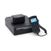
Shows a map of visible satellites. The
satellites that are coloured blue provide
the strongest signals and this
information is used to establish the
position of the receiver. The other
satellites are visible, but the signal is
weaker and the information is ignored.
Table 5: GPS information (cont.)
Tab Description