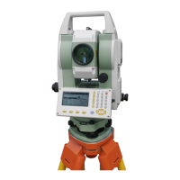
54
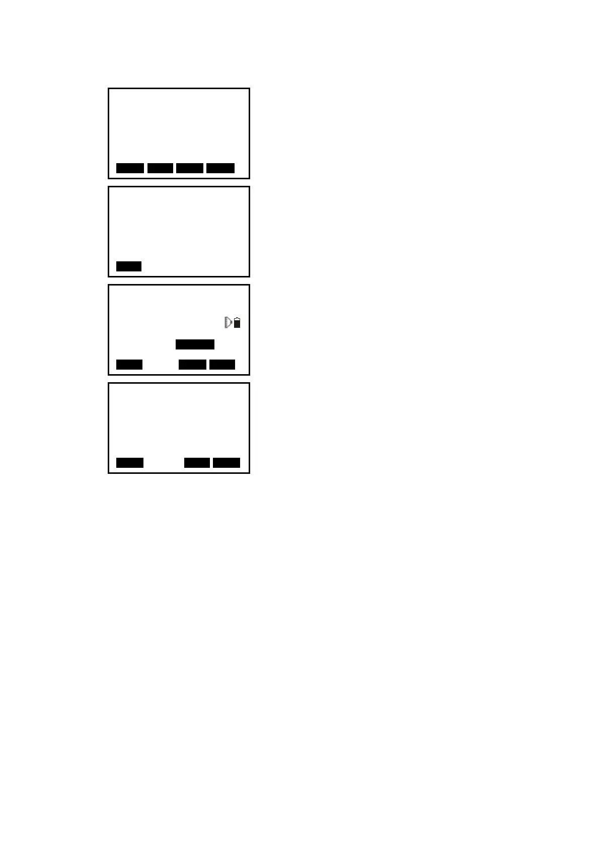
3. After setting the elevation for the first known point,
press F3: [
NEXT] to set the second point data.
4. After all known points data have been set, press F4:
[
MEAS].
Press F1: [
READ] to read existed coordinate data.
5. Sight the first known point and press F1: [
DIST] to
begin measurement. The measured data are displayed.
6. Press F4: [YES] to use the measured data of the first
known point data.
Press F3: [NO] to re-measure the point. You can
also input target height here.
After finishing two measurements, [
CALC] will be
displayed.
6. Press F1: [
CALC] to calculate. Instrument occupied
elevation and standard deviation are displayed.
7. Press F1: [
NEXT] to add other known points.
Press F3: [
REC] to record the calculated result.
Press F4: [
OK] to finish elevation resection. Only Z
(elevation) of the instrument occupied coordinate is
set. N and E values would not be overwritten.
No. 1Pt#
Z
Pt#
Tgt.H
READ R E C NEXT MEAS
Resection No.1PT
Z
Pt#
DIST
Resection No.1Pt
SD 10.188m
VA 189.9284gon I
HA 47.2432gon
Tgt.H 000000m
CALC TNOT YES
Occ.Coord
Z
dZ
NEXT REC TOKT
 Loading...