7 – 55
7.5
7.5.7.3 Adjusting Position by Changing Longitude / Latitude Information
from GPS (R+P and Plotter Modes)
Since this adjustment changes such data as the stored track, only our service personnel is allowed to use this
function.
Procedures
1. Follow procedures 1 and 2 in subsection 7.5.7.1 to open the INIT SETTING
#3 menu.
2. Press the
3
key to select "LAT / LON CORRECTION".
3. Press the
3
key, enter an adjustment value for N (north latitude)
using numeric keys (
0
to
9
) and press the
ENT
key.
4. Enter an adjustment value for E (east longitude) using numeric keys
(
0
to
9
) and press the
ENT
key.
Cancellation
1. Follow procedures 1 and 2 above to select "LAT / LON CORRECTION".
2. Press the
3
key, enter "0" to an adjustment value for N using the
0
key and press the
ENT
key.
3. Enter "0" to an adjustment value for E using the
0
key and press the
ENT
key.
This cancels position adjustment.
Exit
5. Press the
SUB
MENU
key.
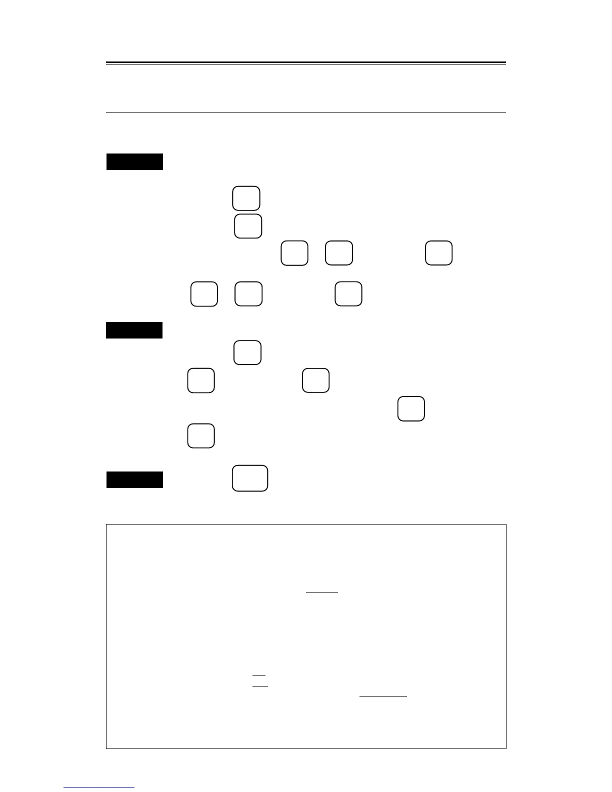
INIT SETTING #3
INIT SETTING #3
Press an item number key.
0. PREVIOUS MENU
1. SHIFT COAST LINE #1 SETTING
DELETE
(RADAR PICTURE)
2. SHIFT COAST LINE #2 N 0.000'
E 0.000'
3. LAT / LON CORRECTION N 0.000'
E 0.000'
4. CHART CENTER POSITION N 35˚00.000'
E 135˚00.000'
5. DATA INPUT FORMAT
183 JRC 180
6. DATA / TIME
OFF UTC LOCAL
7. SHIP'S TYPE FISHING BOAT
MERCHANT
8.
9. NEXT MENU
To close this menu, Press (SUB MENU) key.
 Loading...