76
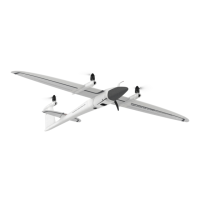
Trinity F90+ user manual
Geotagging: The geotags are written into a copy of the images using the exif tags.
CSV le: This exporter creates a .csv le with the relevant metadata for each image. It is possible to choose between yaw, pitch
roll for AgiSoft or omega, phi, kappa for Pix4D as additional information.
Propeller Aero le: This exporter creates a .ubx and a .prop le required by the Propeller online service.
KML le: A KML le of the ight for visualization in Google Earth is created. The KML le includes all trigger and exposure
events.