Page 80 February 2020 – TD 266 OPERATING MANUAL – ZPulse® DCS 4420/4830/4520/4930
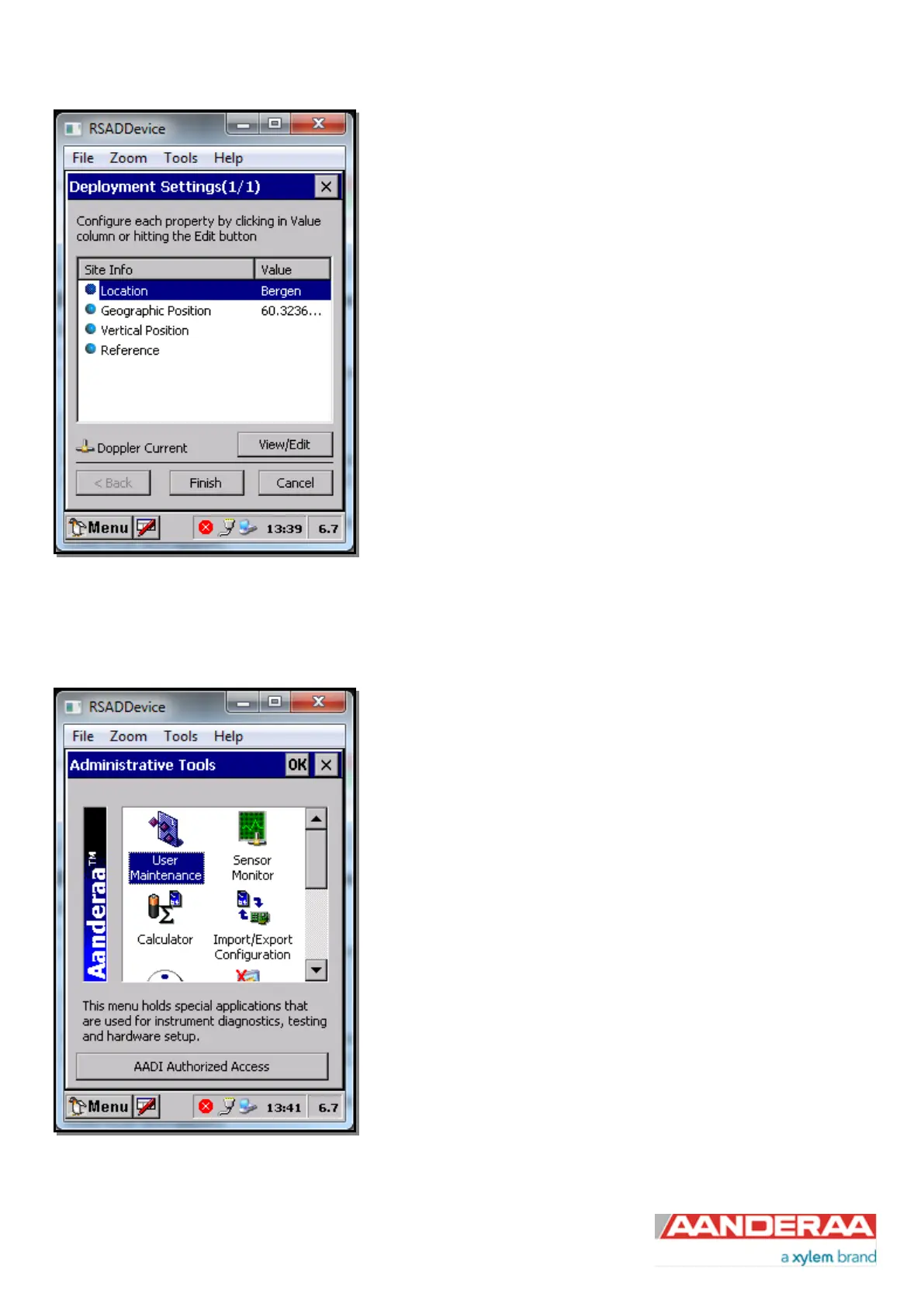
Sheet 1/1 contain settings for Site Info
Site Info containing four properties:
• Location: Name of location where the instrument is deployed.
Geographic Position: GPS potion for deployment format Latitude,
Longitude.
Vertical Position: Position in water column, e.g. 5 meter depth.
Reference: Free text for additional information.
All these settings are optional information to be entered to store
information about the deployment. These setting are not used in
calculation. Geographical Position is used to give the map coordinates
unless a GPS input is connected.
Figure 5-11: Site Info
5.4 User Maintenance
In the Administrative tools menu you’ll find useful tools used to test
individual sensors, power calculator, import/export functions and options
modul. Theese menues are covered in TD 262a.
In this Manual we will focus on User Maintenance which is used to
control each sensor.
Double click on the User Maintenance icon
Figure 5-12: Administrative Tools