Applications Zoom20/30/35 Pro | 57
REMOTE ELEVATION -
Aim at remote point
Aim the instrument at the inaccessible remote point.
Next step • Either, press OK to save the measurement of the remote point.
• Or, press BACK to enter and measure a new base point.
• Or, press ESC to exit the application.
11.9 Reference Element - Reference Line
11.9.1 Overview
Description Reference Element - Line is an application that facilitates the easy set out or checking of lines, for example,
for buildings, sections of road, or simple excavations. It allows the user to define a reference line and then
complete the following tasks with respect to that line:
• Line & offset
• Set out points
Access 1) Select Apps from the MAIN MENU.
2) Select R_LINE from the Apps menu.
3) Complete application pre-settings. Refer to "10 Applications - Getting Started".
Next step Define the base line for the reference line.
11.9.2 Defining the Base Line
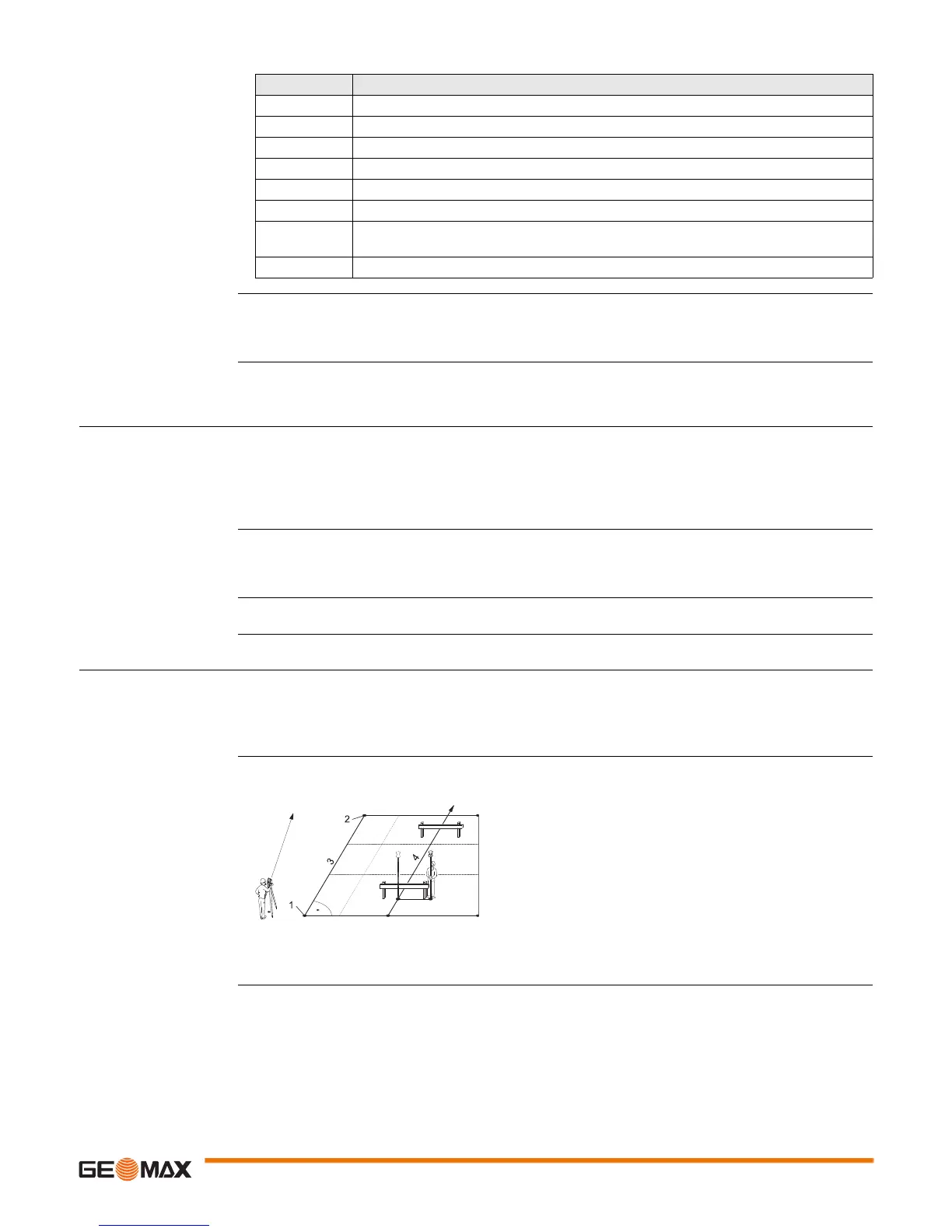
Description A reference line can be defined by referencing a known base line. The reference line can be offset either
longitudinally, in parallel or vertically to the base line, or be rotated around the first base point as required.
Furthermore the reference height can be selected as the first point, second point or interpolated along the
reference line.
Define the base line The base line is fixed by two base points. All points can be either measured, manually entered, or selected
from the memory.
Define the base line by measuring or selecting the start and end points of the line.
Next step
After defining the base line the REFERENCE LINE screen will appear for defining the reference line.
Field Description
hDIST Height difference between the base point and the remote point.
d.d.Z Calculated difference in Height between the base point and the remote point.
Z Height of the remote point.
E Calculated Easting coordinate for the remote point.
N Calculated Northing coordinate the remote point.
dE Calculated difference in Easting coordinate between the base point and the remote point.
dN Calculated difference in Northing coordinate between the base point and the remote
point.
dZ Calculated difference in Height between the base point and the remote point.
1 1st base point
22nd base point
3 Base line
4 Reference line

 Loading...


