Glossary Zoom20/30/35 Pro | 99
Explanation of displayed
data
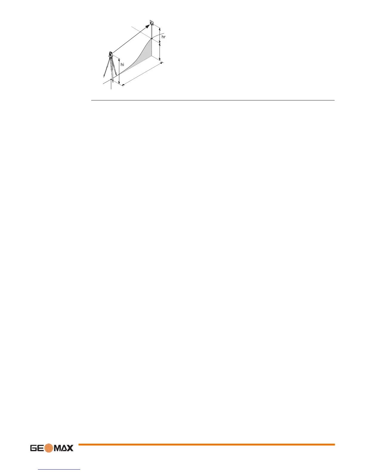
SD Indicated meteorological corrected slope distance
between instrument tilting axis and center of prism/laser
dot
HD Indicated meteorological corrected horizontal distance
VD Height difference between station and target point
hr Reflector height above ground
hi Instrument height above ground
Stn.E, Stn.N, Stn.Z
Easting, Northing and Height coordinates of station
E, N, Z
Easting, Northing and Height coordinates of target point
SD
VD
Stn.E, Stn.N, Stn.Z
E, N, Z
HD

 Loading...


