Creating routes
You can create routes as follows on the chart panel.
1. Position the cursor on the chart panel
2. Select New followed by New route in the menu
3. Tap the chart panel to position the first routepoint
4. Continue positioning the remaining routepoints
5. Save the route by selecting the save option in the menu.
Ú
Note: For more information, refer to "Waypoints, Routes, and Tracks" on
page 55.
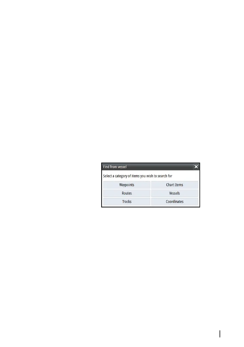
Find objects on chart panels
You can search for other vessels or various chart items from a chart
panel.
Activate the cursor on the panel to search from the cursor position.
If the cursor is not active, the system searches for items from the
vessel's position.
Ú
Note: You must have a SIRIUS data package subscription to
search for fueling stations and an AIS receiver connected to
search for vessels. SIRIUS is not available on 5" and 7" units.
3D charts
The 3D option provides a three dimensional graphical view of land
and sea contours.
Ú
Note: All chart types work in 3D mode, but without 3D
cartography for the appropriate area the chart appears flat.
When the 3D chart option is selected, the Pan and the Rotate icons
appear on the chart panel.
Charts | GO XSE Operator Manual
39