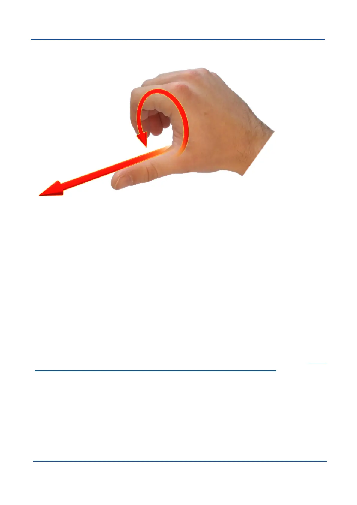
it, point your thumb in the positive direction of that axis, then the direction that your fingers curl over shows the
positive rotation on that axis.
Figure 79: Second right Hand Rule
12.4.2 Rotation Order
When multiple axes are rotated, to imagine the final orientation the three rotations must be performed in the
order heading first, then pitch and then roll. To deduce the final orientation the unit should first be considered
level with the X axis pointing north and the Z axis pointing down. Heading is applied first, then pitch is applied
and finally roll is applied to give the final orientation. This can be hard for some people to grasp at first and is
often best learned experimentally by rotating Boreas with your hand whilst watching the orientation plot in real
time on the computer.
12.5 Geodetic Co-ordinate System
The geodetic co-ordinate system is the most popular way of describing an absolute position on the Earth. It is
made up of two angles, latitude and longitude, combined with a height relative to an ellipsoid.
12.5.1 Latitude and Longitude
Latitude is the angle that specifies the north to south position of a point on the Earth's surface, reported as ± 90°.
Longitude is the angle that specifies the east to west position of a point on the Earth's surface, reported as ±
180°. The line of zero latitude is the equator, and the line of zero longitude is the prime meridian.See Figure
80: Latitude and longitude represented visually to describe a position on an ellipsoid.
v1.2 Page 180 11 Oct 2022
Boreas Reference Manual • Boreas Reference Information