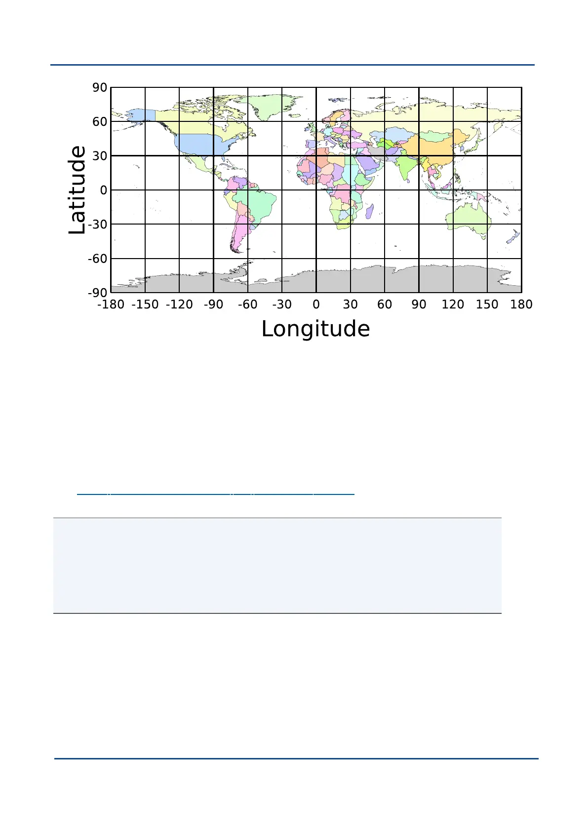
Figure 81: World map showing latitudes and longitudes
Latitude and longitude give the 2D point on the surface of the Earth. These are combined with height to give the
3D position on the Earth.
12.5.2 Height
Any height data output by Advanced Navigation devices is the height referenced the WGS84 reference
ellipsoid. The WGS84 reference ellipsoid is a smooth mathematical model that approximates the form of the
surface of the earth. The ellipsoid height (as used by GNSS) is not referenced to mean sea level; the height
from the EGM96 geoid (orthometric height) approximates the height above mean sea level (MSL).
See Figure 82: Orthometric, ellipsoid and geoid height diagram below for a visual representation of geoid
height, ellipsoid height and orthometric height (height above mean sea level).
Note:
Ellipsoid height refers to the height of a point of interest referenced to the WGS84 reference ellipsoid.
Geoid height refers to the height of the EGM96 geoid referenced to the WGS84 reference ellipsoid at a
point of interest.
Orthometric height is the height at a point of interest referenced to the EGM96 geoid.
All heights can be either positive or negative dependant upon direction from the reference surface.
v1.2 Page 182 11 Oct 2022
Boreas Reference Manual • Boreas Reference Information