System Planning
SkyView System Installation Guide - Revision K 2-17
Software is in use. Reference the Serial Devices and SV-ARINC-429 Installation and
Configuration sections of this guide for more information regarding external data sources.
The SV-GPS-250’s GPS data alone is only a position source (and only a subset of the
data provided by other, external GPS devices such as a Garmin X96). It cannot
provide navigation without the Navigation Mapping Software and appropriate
aviation databases installed.
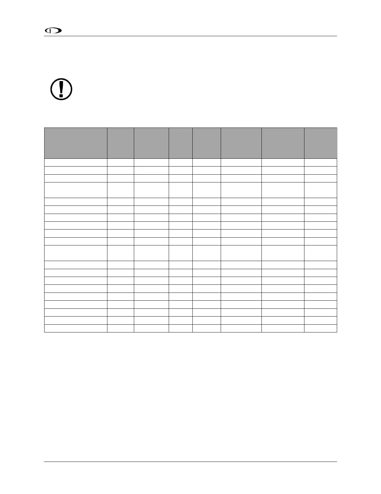
Table 7 outlines the functionality enabled by each source.
Dynon
Navigation
Map
Software
ARINC-429
GPS via SV-
ARINC-429
ARINC-429/
Serial (SL30)
NAV
Waypoint or
Station Identifier
Table 7–HSI Requirements
1
Approach-certified WAAS GPS units only.
2
Some models.
3
Requires additional DME equipment connected to compatible non-Dynon hardware.
4
Winds calculation specifically requires GPS, OAT, IAS, and magnetic heading.
5
Requires additional Aviation format serial input into SV-ARINC-429 module