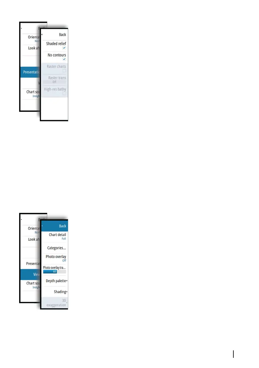
Shaded relief
Shades seabed terrain.
No contours
Removes contour lines from the chart.
Raster charts
Changes the view to that of a traditional paper chart.
Raster transparency
Controls the transparency of raster imagery.
High resolution bathymetry
Enables and disables higher concentration of contour lines.
Genesis Layer
The Genesis Layer displays high-resolution contours contributed by
Genesis users that have passed a quality check.
This option toggles the Genesis layer on/off on the chart image.
When the Genesis layer is on, the High-res bathy is disabled.
Available only if the C-MAP chart contains Genesis Layer data.
Insight and C-MAP view options
Chart detail
• Full
All available information for the chart in use.
• Medium
Minimum information sufficient for navigation.
• Low
Basic level of information that cannot be removed, and includes
information that is required in all geographic areas. It is not
intended to be sufficient for safe navigation.
Insight and C-MAP chart categories
Insight and C-MAP charts include several categories and sub-
categories that you can turn on/off individually depending on
which information you want to see.
Charts | GO XSE Operator Manual
43