4 Measurement screen
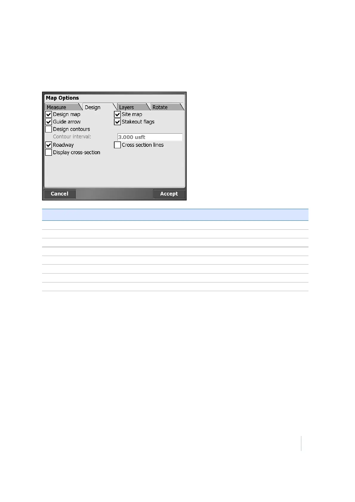
Design tab
Use the Design tab to filter the different design data types that are displayed:
Select this option… to display…
Design map the design map on the map view.
Guide arrow the guidance arrow to navigate to points of interest.
Design contours contours on the map view, if a design is loaded.
Roadway the center line of any roadway design.
Display cross-section display the slope values for each segment of a road cross section.
Site maps the site map on the map view.
Stakeout flags stakeout flags on the map view.
Cross section lines the cross sections of any loaded roadway design.
Layers tab
If there is a lot of data displayed, use the Layers tab to turn layers on and off in the design map to
improve readability.
Trimble SCS900 Site Controller Software User Guide 31