7 Volume and COGO
Record type Col1 Col2 Col3 Col4
Line Azimuth Length
Spiral In Azimuth Direction Radius Length
Arc Azimuth Direction Radius Length
Spiral Out Azimuth Direction Radius Length
Combining Spiral Azimuth Length
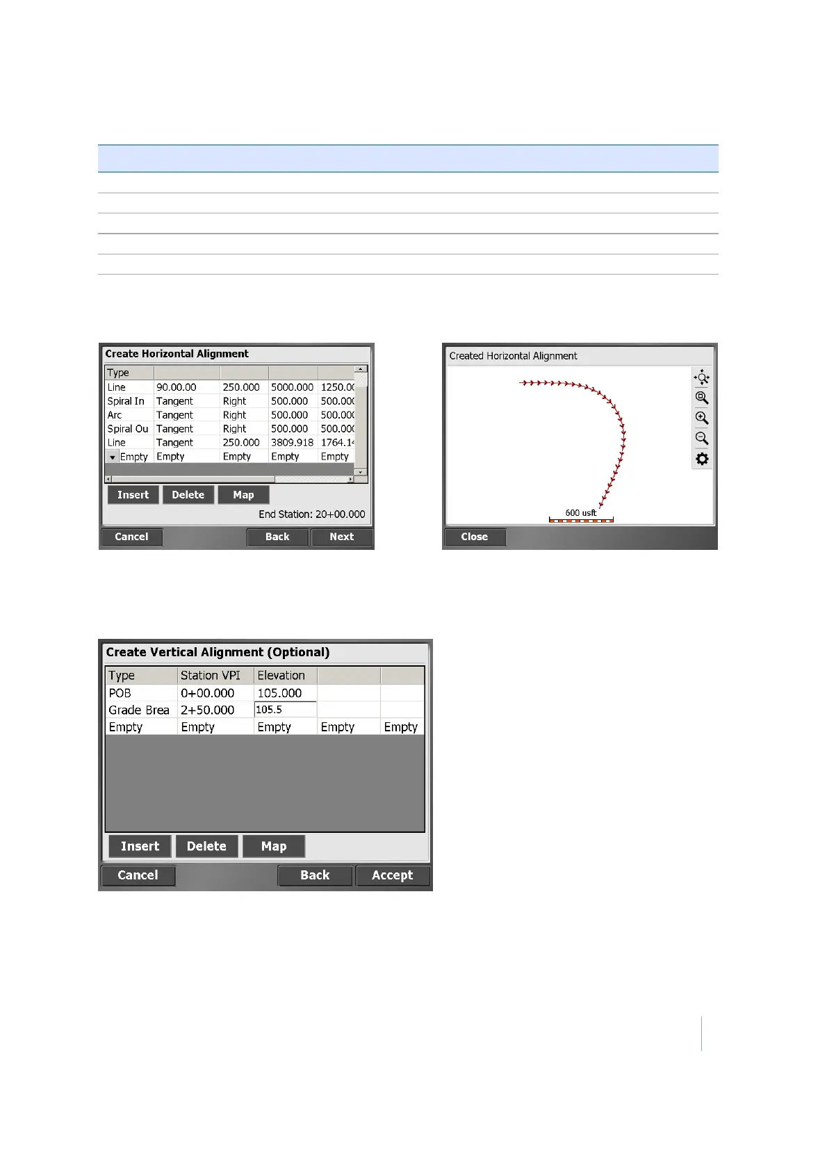
The end station value appears as you enter the road details. Tap Map to see the plan view of the
alignment you are creating:
Creating a vertical alignment
Tap Next. The Create Vertical Alignment screen appears:
Complete the numeric boxes to define it.
This table shows the record types that the SCS900 software supports and the data that you must
enter for each type. The POB is the Point Of Beginning, which is always the first record for a vertical
alignment and contains the start station and elevation.
Trimble SCS900 Site Controller Software User Guide 60