7 Volume and COGO
Create/Edit Roads
Use the Create Points/Arcs option to create design data in the field. You can create new points
relative to other points and lines in the work order or in the current loaded design.
From the COGO menu, tap Create/Edit Roads .
A variety of functions is available in the bar on the left:
Icon Description
Create/edit a roadway alignment.
Create and position road templates.
Create stakeout points at a certain station and offset from the road
alignment.
Create stakeout points at a certain station and with a deflection angle from
the road alignment.
Change the Key In road entry method.
The points can be stored as stakeout points or as measured points. A surface can be generated from
measured points, which you can export to the GCS900 or AccuGrade grade control systems for
machine guidance.
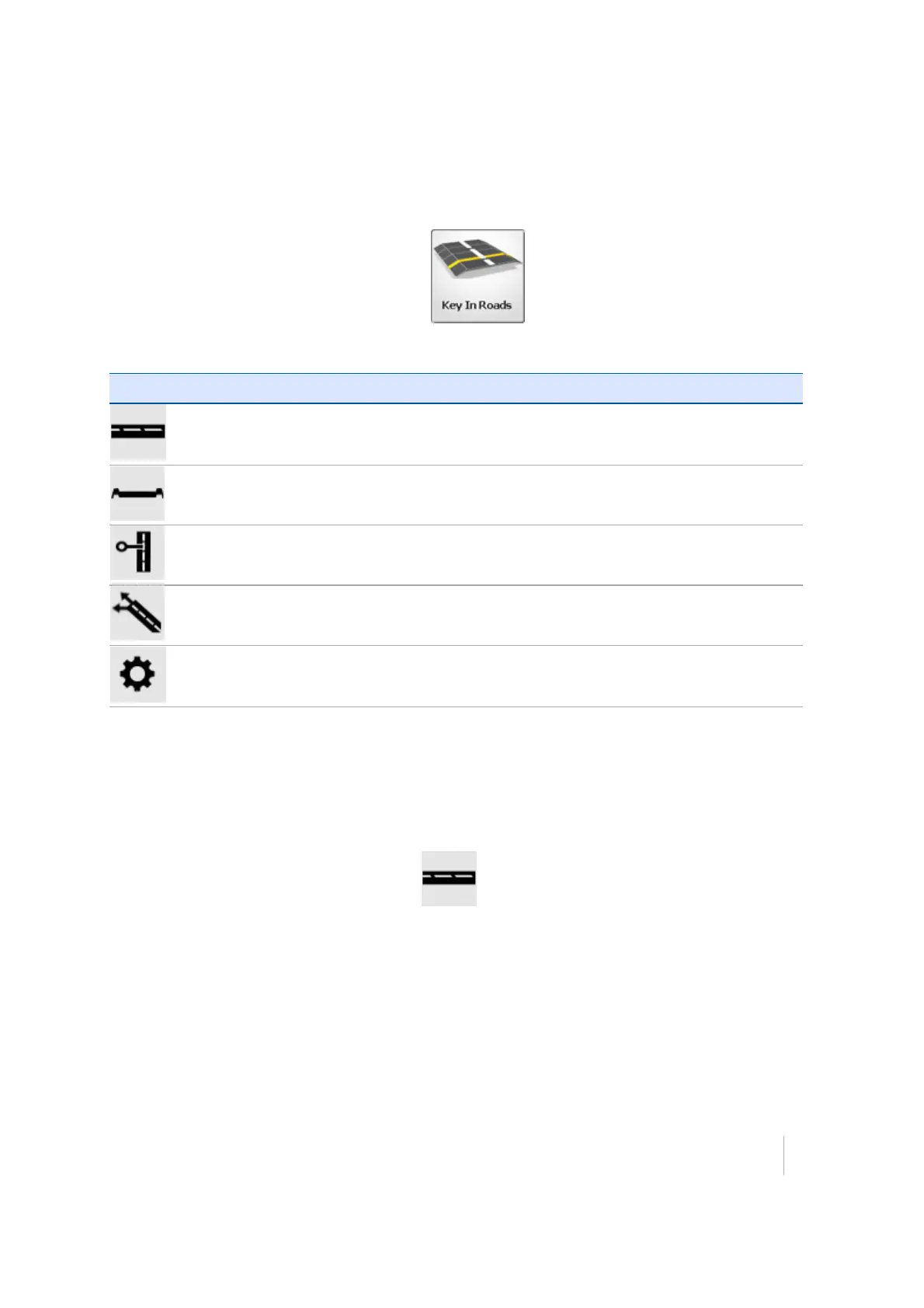
Creating an alignment
Tap the Create/Edit Roadway alignment icon . A tabular entry screen appears to enter the
geometry for the horizontal and optional vertical alignment.
Trimble SCS900 Site Controller Software User Guide 58